Getting Ready for Construction Permits: The Role of a Certified Site Plan
Before you start any construction project in Montana, whether you’re planning a new home, an addition, or a commercial build, local permitting offices will ask for one essential document: a certified site plan.
This plan is more than a drawing. It’s a legally recognized map, built from accurate survey data, showing how your proposed project fits within your property. It’s the foundation of a successful permit application and often the first step in keeping your project on schedule.
At Prairie Point Land Surveyor, we prepare certified site plans that meet state and local requirements, giving you clarity and confidence before you begin.
What a Certified Site Plan Includes
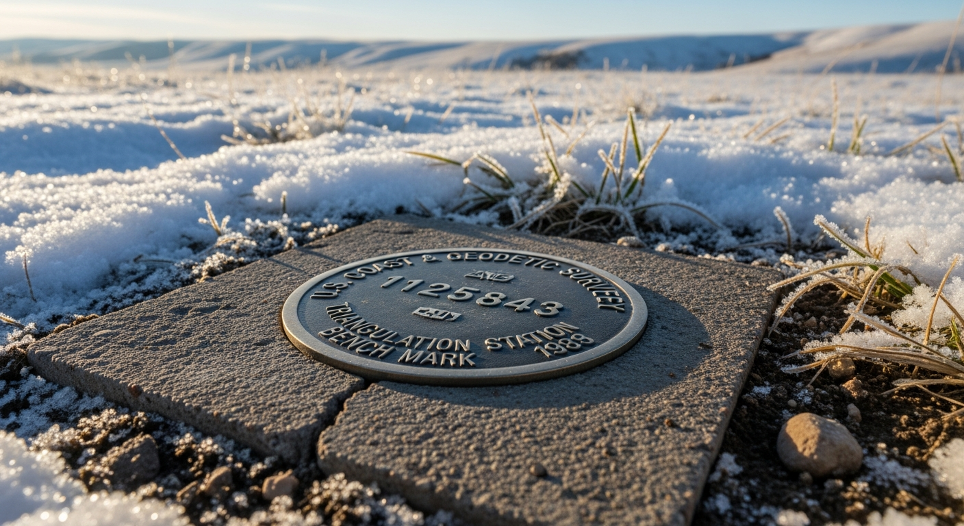
A certified site plan (often called a plot plan) provides a detailed look at both existing and proposed conditions on your property. It shows your boundary lines, corner markers, and the location of any structures, utilities, or driveways already on the site.
Your proposed construction — whether it’s a new building, garage, deck, or driveway — is placed on the plan in accurate, scaled relation to your boundaries and any nearby features. Setbacks, easements, drainage paths, and access points are clearly shown so building officials can review your project against zoning and environmental regulations.
The key difference between a simple drawing and a certified site plan is the signature and seal of a licensed Montana surveyor, verifying that the information is accurate, measured, and compliant.
Why Permitting Offices Require It
County and city planning departments rely on certified site plans because they offer an unbiased, verifiable representation of your project. A reviewer can immediately see whether your construction meets zoning setbacks, how it fits within any recorded easements, and whether drainage and grading are likely to cause issues.
Without this level of accuracy, a reviewer cannot confirm compliance — and delays follow.
A well-prepared site plan removes the guesswork. It shows the location, scale, and impact of your project in a format that meets the expectations of local authorities and helps them approve your permit faster.
What Can Go Wrong Without One
Starting your project without a certified plan often leads to preventable problems. Many homeowners discover late in the process that their proposed building extends into a setback, sits too close to a utility easement, or conflicts with a recorded plat.
These issues trigger redesigns, new submittals, and weeks — sometimes months — of delays. In more serious cases, construction must be halted or revised mid-build, which adds cost and slows progress.
Beginning with an accurate, certified plan ensures that your project aligns with regulations before you spend time or money on materials or labor.
How Prairie Point Prepares a Certified Site Plan
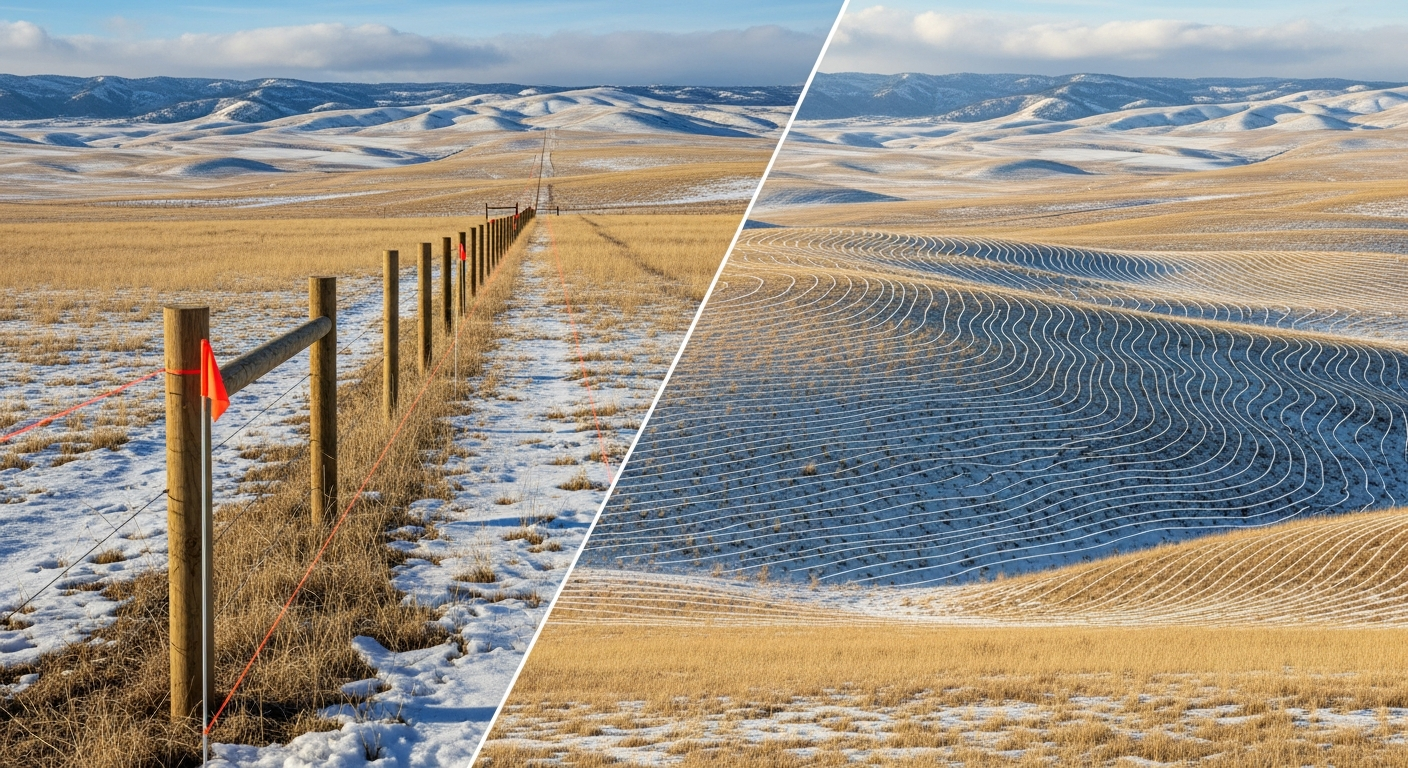
Our process begins with field measurements. A licensed surveyor visits your property to verify boundary locations, collect elevation data, and document all existing improvements. This field data becomes the base map for your design.
Once we receive your layout from an architect or builder — whether it’s a footprint for a new home or a simple garage addition — we place it on the surveyed base map with precision. From there, we check your design against local zoning rules, floodplain requirements, and any recorded easements.
When everything aligns, we prepare your certified site plan and deliver both digital and printed versions ready for submittal. If the permitting office requests clarifications or small adjustments, we handle those quickly so your application stays on track.
When You’ll Need a Certified Site Plan
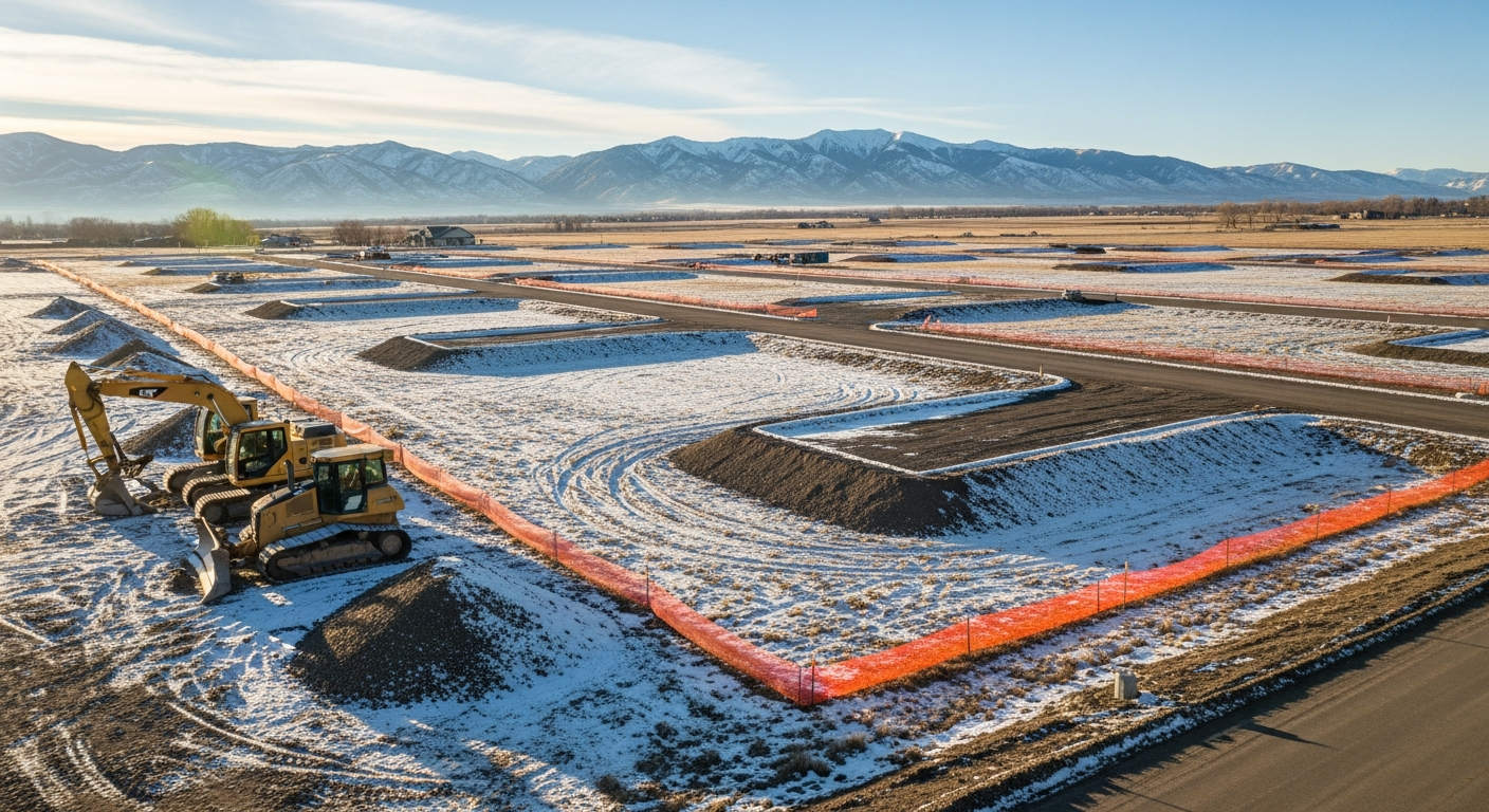
Most projects that alter the footprint of your property will require one. New construction almost always triggers the requirement, but so do additions, detached garages, sheds, accessory dwelling units, driveways, and grading work.
Commercial remodels or expansions often rely on certified site plans as well, especially when parking changes, drainage adjustments, or new access points are involved.
Each county in Montana may have slightly different expectations. Our experience in Billings, Yellowstone County, Stillwater County, and surrounding jurisdictions ensures your plan meets the appropriate standards before it’s submitted.
Why a Professionally Prepared Site Plan Matters
A certified site plan gives you a reliable foundation for the rest of your project. With accurate boundary and topographic data behind it, your builder can trust the measurements, your architect can finalize design details, and your permitting office can review your application efficiently.
It also protects you from costly mistakes. When your plan shows accurate setbacks, clear easements, and verified elevations, your project is far less likely to encounter compliance issues later on.
Montana-Specific Considerations
Montana’s landscape can vary dramatically from one parcel to the next. Slopes, drainage patterns, rural access roads, and proximity to floodplains all influence how a site plan must be prepared.
Local permitting offices often review these details closely, especially in areas near creeks, irrigation channels, foothills, or low-lying ground. Because our surveyors live and work in these conditions daily, we understand the expectations and document each site accordingly.
Final Thoughts
A certified site plan is the starting point for a smooth construction process. With accurate measurements, clear boundaries, and a layout that meets Montana’s regulations, you can move forward confidently — knowing your project is built on solid ground.
At Prairie Point Land Surveyor, we focus on precision and clarity. Every certified site plan is prepared carefully, reviewed against local requirements, and delivered ready for permit approval.
If you’re planning a construction project in Montana, we can help.
Contact Prairie Point Land Surveyor
for a certified site plan that meets local permitting standards and keeps your project moving forward.


