How to Read a Survey Drawing: A Homeowner’s Guide
When your surveyor delivers a certified map of your property, it can look like a maze of lines, numbers, and symbols. But once you understand the basics, a survey drawing becomes a powerful tool — showing exactly what you own, where your boundaries lie, and how your site can be developed.
At Prairie Point Land Surveyor, we believe every client deserves to understand their data clearly. This guide explains the key parts of a typical boundary or topographic survey drawing, how to interpret them, and what details matter most for homeowners, builders, and real estate professionals.
What a Survey Drawing Shows
A survey drawing (sometimes called a plat or map of survey) is the final, certified product of your land survey. It translates field measurements into a scaled plan that represents your property on paper or screen.
Depending on the survey type — boundary, topographic, or ALTA/NSPS — the drawing may include:
- Property boundaries and corner monuments
- Bearings and distances (direction and length of boundary lines)
- Easements and encroachments
- Structures, driveways, and fences
- Contours or elevation points
- Legal description and surveyor’s certification
Every line, symbol, and note serves a purpose — to communicate your property’s legal and physical reality with accuracy.
Understanding Key Elements
1. Boundary Lines
These are the bold, enclosing lines defining your parcel limits.
Each boundary line will include:
- A bearing (direction relative to north, such as N 89°45’ E)
- A
distance (the length of the line, in feet)
Together, they describe the exact shape and size of your lot.
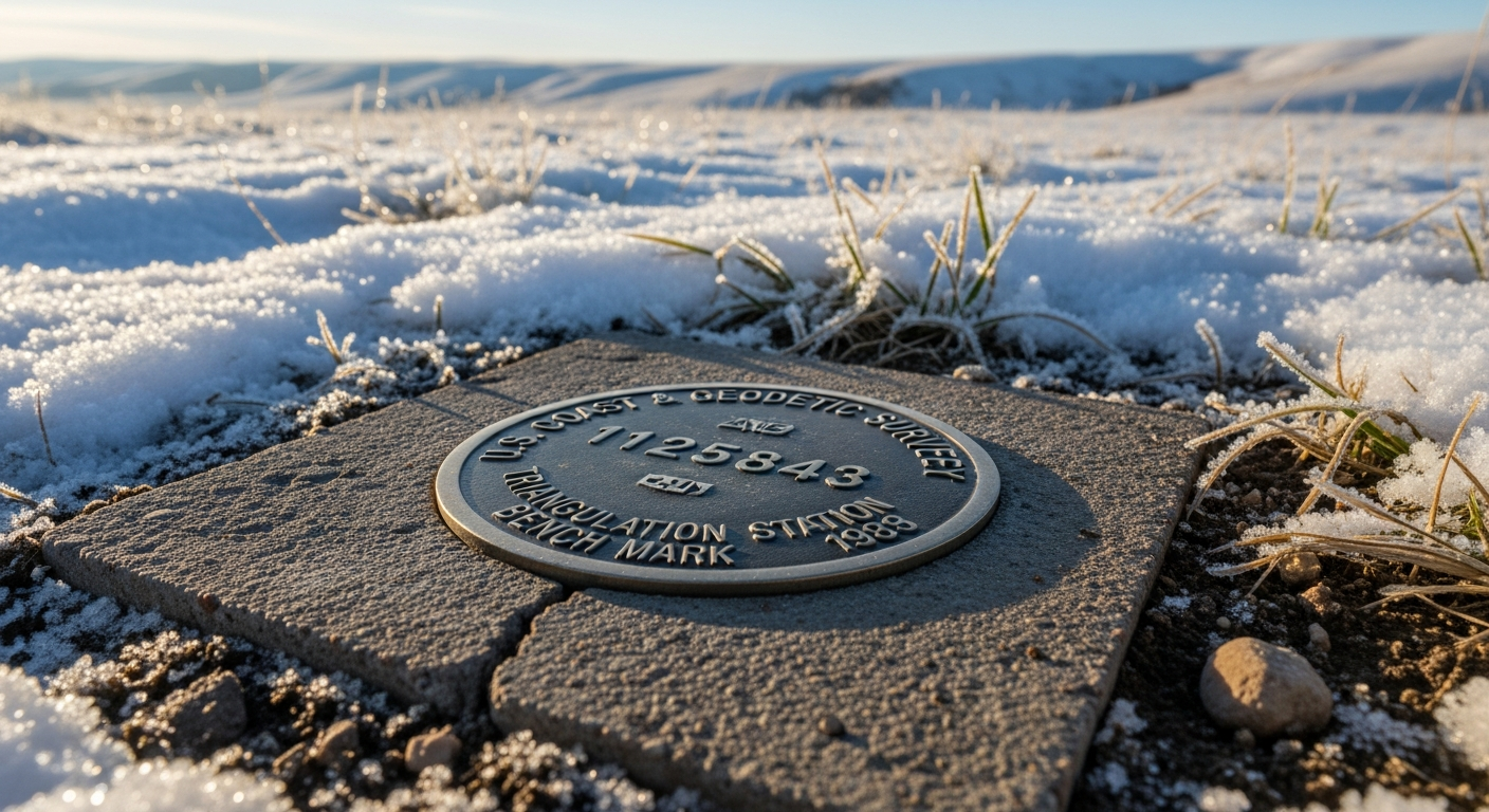
2. Corner Markers
Corners are marked on-site and shown on the drawing with symbols such as:
- ⊙ or ■ for found monuments
- ▲ for new monuments set by your surveyor
These correspond to metal pins, pipes, or stones placed in the ground.
3. Easements and Rights-of-Way
These shaded or dashed areas show where another party (like a utility company or neighbor) has limited access to your land — for power lines, drainage, or shared driveways.
Knowing your easements helps you plan improvements without violating existing rights.
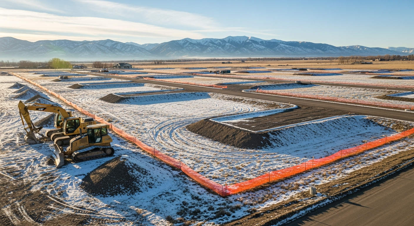
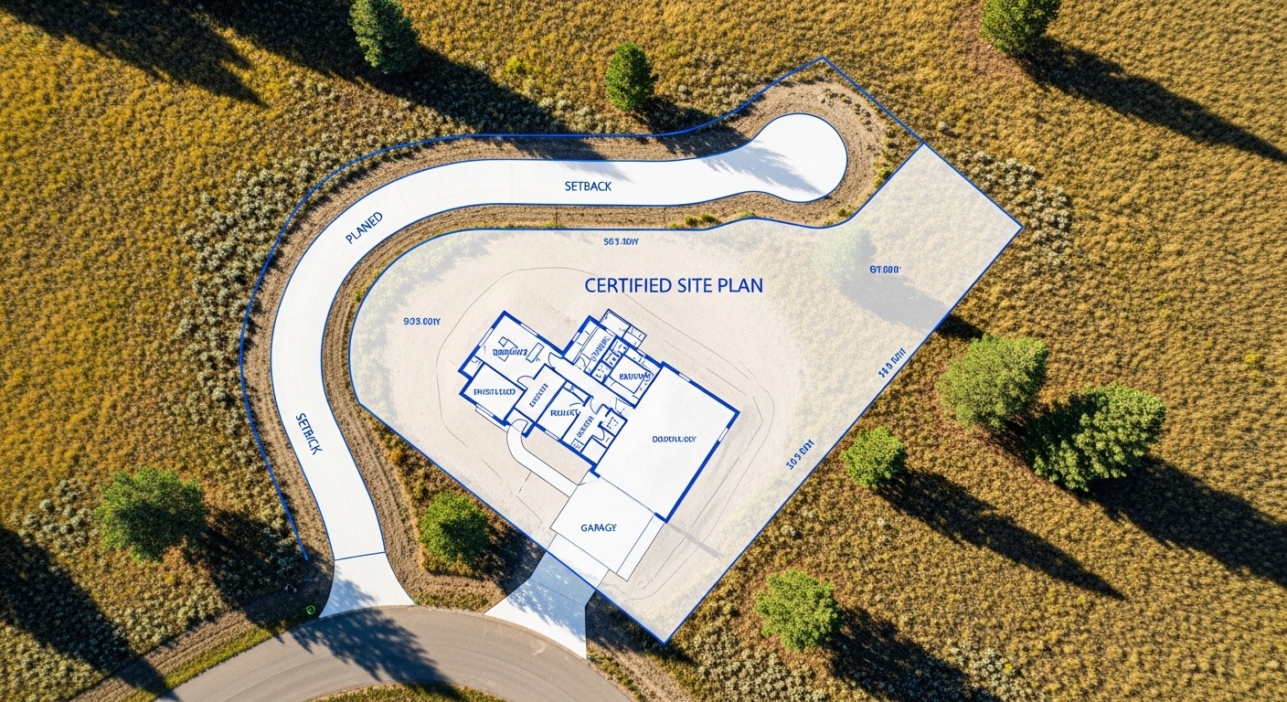
4. Structures and Improvements
Your house, garage, fences, and driveways appear in relation to your boundary lines. This helps verify whether buildings meet setback requirements under local zoning codes.
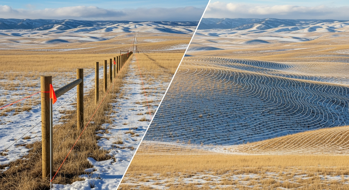
5. Elevations and Contours
On a
topographic survey, contour lines show the rise and fall of your land at set intervals (often one or two feet).
Close contour spacing indicates a slope; wide spacing shows flatter terrain. This information supports drainage design, grading, and construction planning.
The Surveyor’s Certification Block
Every legitimate survey drawing includes a
certification statement signed and sealed by a
licensed Montana land surveyor.
This section confirms that the survey meets all professional and state standards, and that all fieldwork and records were verified to ensure accuracy.
Never rely on an unsigned or uncertified copy — it may not hold up for permitting or legal use.
Common Homeowner Questions
“Do I need to keep the drawing after closing?”
Yes. Your survey drawing is a permanent record of your property’s limits. Keep both the digital and printed versions for future reference.
“Can I share it with my builder or contractor?”
Absolutely. Your survey provides the base map for designers, engineers, and construction crews to plan correctly and avoid mistakes.
“What if my fence doesn’t match the boundary?”
That’s common. Fences often follow convenience lines, not true legal boundaries. Your survey clarifies what’s legally yours.
Why Understanding Your Survey Matters
When you understand your survey, you gain control over your property decisions.
You can:
- Verify if neighbors’ structures encroach on your land
- Confirm compliance before installing fences, sheds, or driveways
- Support smooth real estate transactions
- Provide certified data for permits or design work
At Prairie Point Land Surveyor, we make every drawing as clear as possible — using legible notes, consistent symbols, and clear labeling — so clients can read and use their documents confidently.
How Prairie Point Ensures Clarity
Our team uses advanced GPS and total station data to prepare accurate, readable survey drawings.
Each map includes:
- North arrow and scale bar for orientation
- Legend of symbols to explain markings
- Surveyor’s signature and date
- Digital delivery for easy sharing with engineers and contractors
We design each deliverable to be professional, compliant, and useful — not just technical.
Final Thoughts
A survey drawing is more than a technical record — it’s your property’s blueprint for clarity and confidence.
Understanding it helps you make informed decisions, avoid boundary disputes, and protect your investment for years to come.
At
Prairie Point Land Surveyor, we believe precision should always come with explanation.
That’s why we provide not only certified results but also the guidance you need to interpret them.
Call to Action
Need help interpreting your survey or ordering a new one?
📍
Contact Prairie Point Land Surveyor for a certified boundary or topographic survey in Montana.
We’ll ensure your survey is accurate, compliant, and easy to understand.

