Property Corner Disputes: How a Boundary Survey Resolves Conflicts
Few issues create more stress between neighbors than unclear property lines. A misplaced fence, an old marker that no longer matches the recorded deed, or a misunderstanding about where one property ends and another begins can lead to costly disputes.
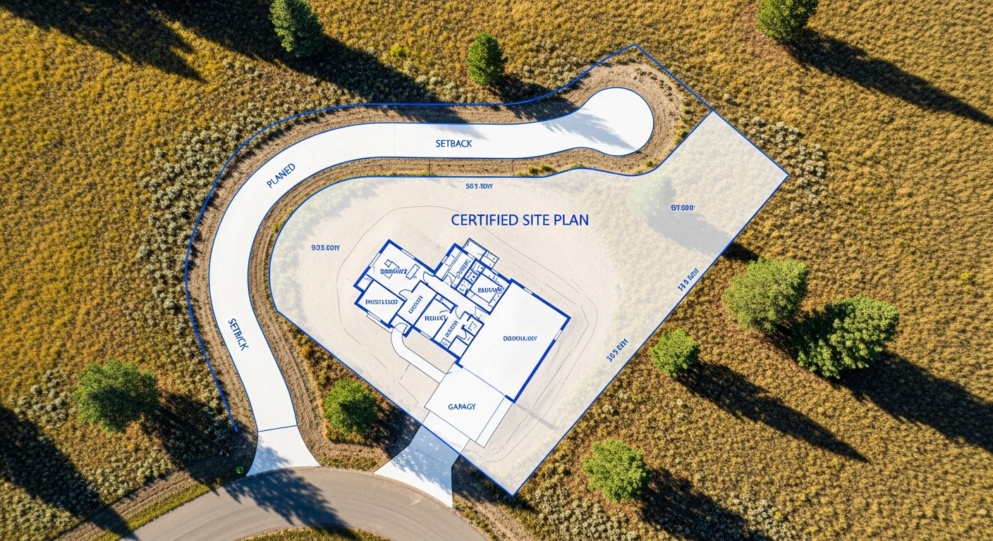
In Montana, the most reliable way to resolve these situations is with a certified boundary survey performed by a licensed land surveyor.
At Prairie Point Land Surveyor, we help landowners establish clear, defensible boundaries so they can move forward with confidence — whether they’re building, selling, or simply protecting their property rights.
Why Property Corner Disputes Happen
Corner disputes can arise for several reasons. Some lots were originally surveyed decades ago, using equipment far less accurate than what we use today. Monuments may have been disturbed, removed, or buried over time. Fences are often placed for convenience, not accuracy.
Even well-intentioned neighbors can rely on assumptions that don’t match the recorded legal descriptions.
Montana’s changing terrain also plays a role. Frost heave, erosion, and agricultural activity can shift visible markers, while vegetation growth can obscure older monuments. When recorded descriptions, existing fences, and physical evidence don’t match, uncertainty follows.
What a Boundary Survey Provides
A boundary survey eliminates guesswork by identifying the true, legal limits of your property. Your surveyor reviews deeds, plats, and historical records; locates or resets monuments; and measures your boundaries using high-precision equipment.
The result is a certified survey drawing that clearly shows your property lines, corner markers, and any encroachments or overlaps.
This documentation becomes your proof of ownership limits — valuable for construction, dispute resolution, and legal protection.
How a Survey Helps Resolve a Dispute
When neighbors disagree about a corner or boundary, a certified survey becomes the neutral, authoritative source both parties can rely on. It clarifies what the recorded documents actually describe and how those records relate to the ground.
In many cases, presenting a clear survey drawing is enough to settle the question without further conflict. If the issue escalates, the surveyor’s findings support your position during mediation or legal review.
Because Montana law only recognizes surveys performed and certified by licensed professionals, you benefit from documentation that carries full legal weight.
What to Expect During the Survey
We begin by researching all available property records, including deeds, subdivision plats, prior surveys, and adjoining parcel information.
In the field, we locate existing monuments, compare them with record data, and set new monuments where required. We verify the alignment between legal descriptions and on-site evidence, then prepare a certified drawing that outlines the final boundary determination.
If we identify encroachments — such as a fence, shed, or driveway built over the line — we document those clearly so you understand the exact extent of the issue.
When You Should Request a Boundary Survey
You should consider a certified survey if:
- You’re preparing to build a fence, addition, or structure near the boundary.
- You and a neighbor disagree about property limits.
- Corners appear missing, disturbed, or unclear.
- You’re buying or selling property and want verification.
A current survey protects you from future disputes and ensures your improvements stay within your legal boundaries.
Montana-Specific Considerations
Montana properties often cover large or irregular parcels, and original surveys may date back several decades or more. Rural land, in particular, may have corners marked with older materials such as wooden stakes, stones, or deteriorated pipes.
Our surveyors understand how to interpret historical records and integrate them with modern GPS and total-station measurements. This ensures your boundary is established accurately and in compliance with Montana law and the Administrative Rules of Montana (ARM 24.183).
Final Thoughts
Property corner disputes are stressful, but they don’t have to derail your project or your relationship with a neighbor. A certified boundary survey provides clear, defensible results you can rely on — giving you certainty about your property limits and protecting your investment.
At Prairie Point Land Surveyor, we deliver accurate, compliant boundary surveys backed by Montana’s professional standards. When clarity matters, we’re here to help.
If you’re facing a property line question or preparing for a project near your boundary, we can help.
Contact Prairie Point Land Surveyor for a certified boundary survey and clear guidance you can trust.