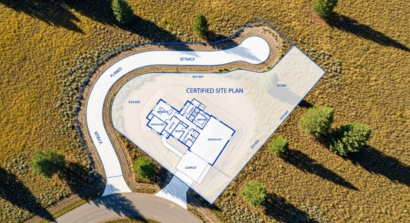
Understanding Benchmark Elevations and Their Role in Engineering Projects
Accurate elevation data is critical to nearly every engineering and construction project. From roadway design to drainage systems and building foundations, engineers rely on consistent vertical reference points to ensure everything aligns as planned. These reference points are known as benchmarks.
At Prairie Point Land Surveyor, we establish and verify benchmark elevations that engineers, contractors, and property owners can trust. Understanding how benchmarks work — and why they matter — helps ensure your project is built correctly from the ground up.
What Is a Benchmark Elevation?
A benchmark is a fixed reference point with a known elevation, tied to an established vertical datum. Surveyors use benchmarks as starting points for measuring elevation differences across a site.
Benchmarks may be:
- Permanently set monuments
- Existing control points established by prior surveys
- Reference marks tied to national or local vertical datums
Once a benchmark is established, all elevation measurements on a project are referenced to it. This ensures consistency between survey data, engineering plans, and construction layout.
Why Benchmarks Matter in Engineering
Engineering designs depend on precise vertical control. Without a reliable benchmark, elevations can drift, resulting in grading errors, drainage problems, or mismatched connections between project elements.
Benchmarks help engineers:
- Design slopes and drainage that function properly
- Ensure foundations are built at the correct height
- Coordinate elevations between roads, utilities, and structures
- Maintain consistency across multiple phases of construction
A single, verified benchmark keeps all teams working from the same reference point.
How Surveyors Establish Benchmarks
Surveyors establish benchmarks using high-precision GPS and leveling equipment. We tie benchmark elevations to known control points or recognized datums, then verify their accuracy through redundant measurements.
In many cases, multiple benchmarks are set across a site. This provides backup reference points and ensures elevation control remains reliable throughout construction, even if one marker is disturbed.
Each benchmark is documented on the survey drawing so engineers and contractors know its exact location and elevation.
Benchmarks in Construction and Stake-Out
During construction, benchmarks are essential for stake-out surveys. Contractors rely on them to set building pads, curbs, utilities, and finished floor elevations accurately.
If benchmarks are missing, altered, or misunderstood, errors can compound quickly. That’s why verifying benchmarks before construction begins — and protecting them during the project — is critical.
Prairie Point works closely with engineers and contractors to ensure benchmarks are clearly identified and correctly used in the field.
Elevation Benchmarks and Floodplain Compliance
Benchmarks are especially important for projects within or near floodplains. Elevation Certificates, finished floor elevations, and floodplain permits all rely on accurate benchmark data.
Inconsistent elevation references can lead to incorrect flood risk determinations or compliance issues. Using verified benchmarks ensures elevation data aligns with FEMA requirements and local floodplain regulations.
Montana-Specific Considerations
Montana’s terrain often includes long elevation changes, sloped sites, and variable soil conditions. These factors make consistent vertical control even more important.
Local experience matters. Our Billings-based surveyors understand how to establish benchmarks that remain reliable in Montana’s environmental conditions — whether the site is urban, rural, or remote.
Final Thoughts
Benchmark elevations may not be visible once a project is complete, but they play a critical role in ensuring everything fits together as designed. From engineering plans to final construction, benchmarks provide the vertical reference that keeps projects accurate and compliant.
At Prairie Point Land Surveyor, we deliver dependable benchmark elevations that support safe, efficient, and well-executed projects.
Planning an engineering or construction project?
Contact Prairie Point Land Surveyor to establish reliable benchmark elevations and accurate survey control for your site.