When to Request a Topographic Survey (and Why It Matters)
A successful construction or development project starts with understanding the shape of your land. Whether you’re planning a new home, a commercial build, a drainage improvement, or a roadway project, a topographic survey gives you the elevation and terrain data needed to design with confidence.
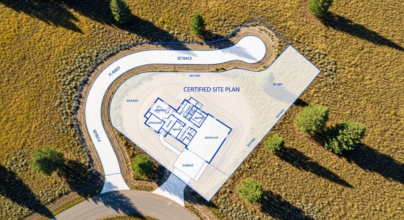
At Prairie Point Land Surveyor, we prepare topographic surveys that reflect the true conditions of your site — accurate, detailed, and ready for engineering or permitting. Knowing when to request this survey can save time, prevent design changes, and help your project move forward without delays.
What a Topographic Survey Shows
A topographic survey documents the natural and built features of a property. It identifies the location and elevation of hills, slopes, drainage paths, trees, buildings, utilities, and other visible elements on the land.
Instead of focusing only on boundary lines, a topo survey shows how the land sits, rises, and falls — information that engineers and designers rely on to create safe and efficient plans.
Contours, spot elevations, and symbols illustrate the terrain. Together, these details form the base map for grading plans, drainage solutions, and foundation design.
When You Should Request a Topographic Survey
You’ll need a topo survey whenever elevation, slope, or drainage affects your project. Common situations include early-stage planning for new homes, additions, or commercial sites. Builders use topographic data to determine foundation heights, driveway slopes, and how a building will sit on the property.
If you’re planning a drainage improvement — such as reshaping low areas, installing culverts, or designing stormwater systems — a topo survey provides precise elevation data so the design will function correctly.
Roadway projects, site redevelopment, and land clearing also depend on accurate terrain information before design can begin. Even landscape architects rely on topo surveys to place retaining walls, grade yard spaces, and prevent water problems around structures.
Why Topographic Surveys Matter for Design
Engineers and architects rely heavily on topographic survey data. Without accurate elevations, a design may not meet local stormwater requirements or could create unexpected drainage issues.
A properly prepared topo survey supports predictable grading, helps determine cut-and-fill volumes, and clarifies how water will move across your site.
This accuracy reduces costly revisions later. When your design team works with precise terrain data from the start, they can produce plans that are efficient, code-compliant, and tailored to the realities of your land.
How Prairie Point Prepares a Topographic Survey
We begin by establishing control points using high-precision GPS and total station equipment. From there, we collect elevation data across your property, documenting significant features such as driveways, buildings, trees, fences, utilities, and drainage paths.
Every measurement is verified and tied to a reliable vertical datum, ensuring the final drawing aligns with local engineering and permitting requirements.
Once the fieldwork is complete, we prepare a clear, certified topographic map showing contours, spot elevations, and all relevant site features. This becomes your design team’s base map for planning, grading, and construction.
Benefits Beyond Construction
A topographic survey can be valuable even if you’re not preparing for a major build. Homeowners use them to understand how water flows across their land, plan yard improvements, or evaluate erosion concerns.
Developers rely on topo surveys to assess feasibility before they invest in a site. Realtors and landowners also use topographic information to understand a property’s limitations and potential.
In every case, accurate elevation data helps you make informed decisions.
Montana-Specific Considerations
Montana’s terrain varies widely — from flat lots in Billings to rolling foothills and sloped rural properties across the region. These variations make topographic accuracy essential.
Local permitting offices often evaluate drainage closely, especially near waterways or areas with seasonal runoff. A topo survey prepared by a licensed Montana surveyor helps you meet these expectations and reduces the risk of revisions or delays.
Final Thoughts
A topographic survey provides the elevation and terrain information that projects depend on. Requesting one early helps your design team build on solid data, reduces surprises during construction, and ensures your plans align with engineering and permitting requirements.
At Prairie Point Land Surveyor, we deliver accurate, detailed topo surveys that support smooth, confident project planning — no matter the site.
Planning a project that depends on elevation or drainage?
Contact Prairie Point Land Surveyor for a certified topographic survey you can rely on for design, permitting, and construction.