Understanding Elevation Certificates for Flood Insurance in Montana
If your property lies near a river, creek, or low-lying area in Montana, you may have heard the term “Elevation Certificate.” But what exactly is it—and why might your insurance company or lender require one?
At Prairie Point Land Surveyor, we prepare certified Elevation Certificates that help homeowners, developers, and lenders understand a property’s flood risk and comply with FEMA and NFIP (National Flood Insurance Program) standards.
Here’s what you need to know about Elevation Certificates, when you need one, and how they can help protect both your property and your budget.
What Is an Elevation Certificate?
An Elevation Certificate (EC) is an official document prepared by a licensed land surveyor, engineer, or architect. It records key elevation data about a structure and its surrounding ground—information that determines your property’s flood risk classification.
The certificate includes:
- The Base Flood Elevation (BFE) from FEMA’s Flood Insurance Rate Map (FIRM)
- The lowest floor elevation of your structure
- Ground elevations around the building perimeter
- Flood zone designation (e.g., Zone AE, Zone X, Zone AO)
This data helps insurers set accurate flood insurance rates and helps local authorities enforce floodplain management requirements.
Why You Might Need One
You’ll typically need an Elevation Certificate if:
- Your property is located within a FEMA-designated flood zone.
- You’re buying, refinancing, or insuring a home in or near a floodplain.
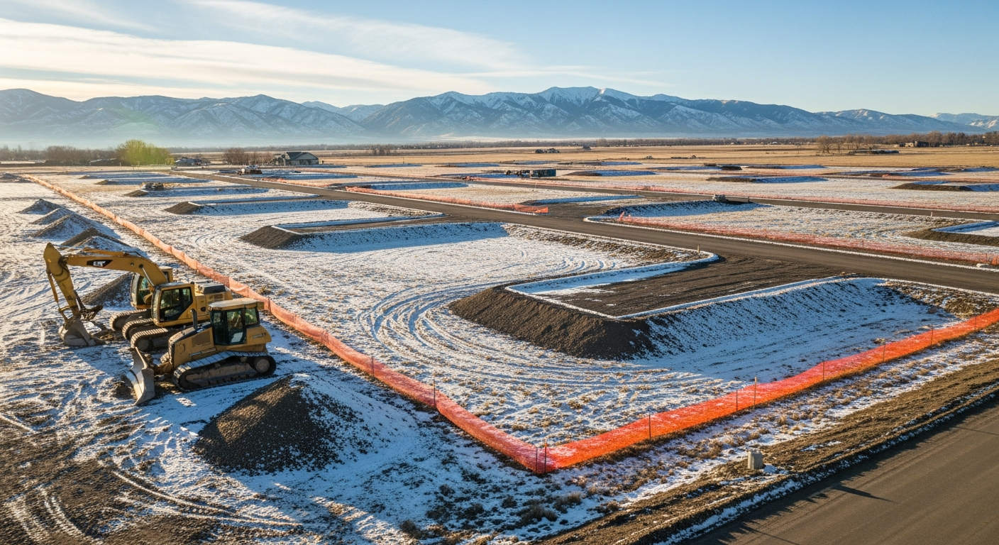
- You’re building new construction or making significant improvements on a site subject to local floodplain regulations.
Lenders often require this documentation before closing, while property owners use it to verify whether they’re being charged appropriate flood insurance premiums.
How an Elevation Certificate Affects Flood Insurance
Flood insurance premiums depend largely on risk.
If your home’s lowest floor sits
above the Base Flood Elevation, your premium may decrease substantially.
If it’s below, your property is considered higher risk—and rates reflect that.
An updated certificate from a
licensed Montana surveyor ensures your insurer uses the most accurate data available.
We’ve seen many homeowners in Billings and the surrounding counties lower their insurance costs simply by providing an updated, verified Elevation Certificate.
The Surveying Process Behind the Certificate
Here’s how Prairie Point handles Elevation Certificate surveys step-by-step:
- Record Review
We locate your property on FEMA’s Flood Insurance Rate Map (FIRM) and determine the relevant Base Flood Elevation. - Field Measurement
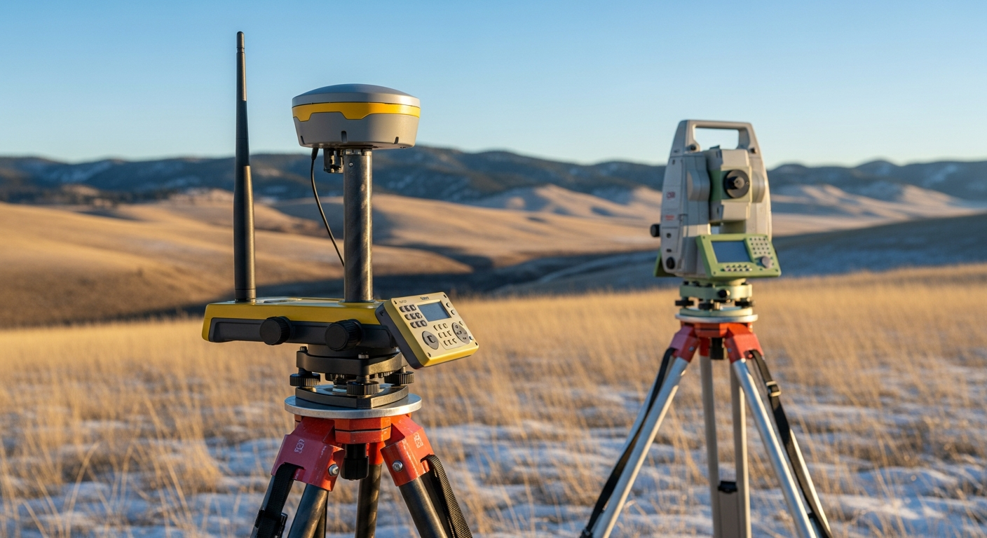
Our surveyor visits the property, establishes vertical control points, and measures key elevations using precise GPS and total station equipment. - Data Verification
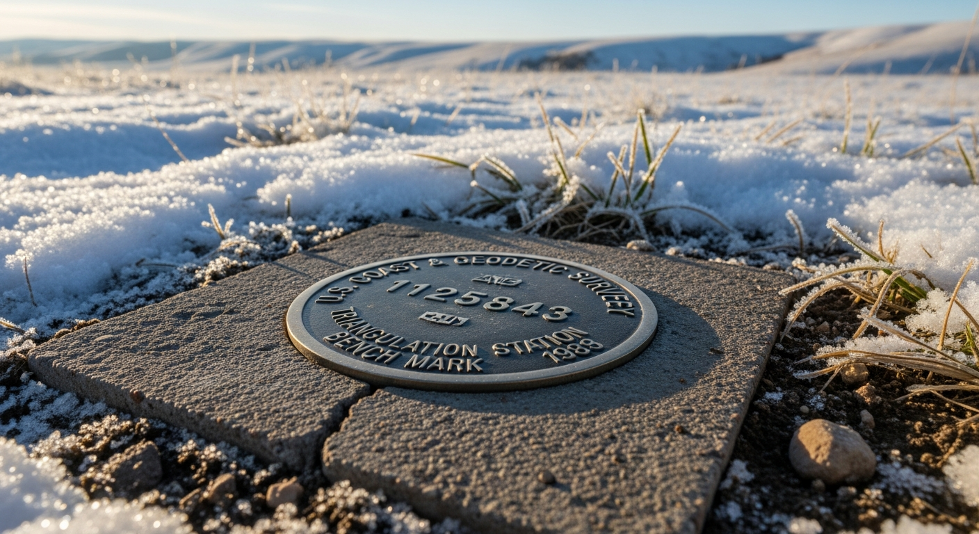
We cross-check field data with FEMA benchmarks and local survey records to ensure accuracy. - Certificate Preparation
We complete FEMA’s official Elevation Certificate form and provide both digital and stamped paper copies for your records.
Every step follows FEMA, NFIP, and Montana Board of Professional Engineers and Land Surveyors standards.
When to Update an Elevation Certificate
Elevation data can change with time—especially after new construction, grading, or FEMA map updates.
We recommend updating your Elevation Certificate when:
- You’ve added, raised, or expanded a building or structure.
- FEMA issues a new flood map affecting your area.
- You’re selling or refinancing your property.
An outdated certificate can result in inaccurate insurance assessments or compliance issues during property transfer.
Benefits Beyond Insurance
While flood insurance is the main reason for most Elevation Certificates, there are several other advantages:
- Peace of Mind: Know your true flood risk before you buy, build, or remodel.
- Regulatory Compliance: Ensure your construction meets local floodplain ordinances.
- Project Planning: Use accurate elevation data to guide grading, drainage, and foundation design.
- Resale Value: Provide buyers with verified documentation and reduce transaction friction.
Montana Floodplain Realities
In Montana, flood zones are often associated with creeks, irrigation channels, and seasonal runoff—not just large rivers.
Even properties that appear elevated may fall within a Zone AE or Zone AO floodplain on FEMA’s maps.
That’s why it’s crucial to consult a
local surveyor familiar with regional terrain and hydrology.
Prairie Point’s Billings-based team knows the Yellowstone River Basin, local floodway designations, and how county requirements align with federal guidelines.
Final Thoughts
An Elevation Certificate is more than a form—it’s your property’s proof of flood safety and compliance.
By getting one prepared before you build, buy, or renew insurance, you ensure fair coverage, proper documentation, and peace of mind.
At Prairie Point Land Surveyor, we deliver accurate, FEMA-compliant Elevation Certificates tailored to Montana’s terrain and regulatory standards—so you can move forward with confidence.
Call to Action
Need an Elevation Certificate or flood risk assessment?
Contact Prairie Point Land Surveyor today for a certified Elevation Certificate and floodplain compliance review.
We’ll help you understand your data, verify your risk level, and ensure your documentation is fully compliant and ready for submission.


