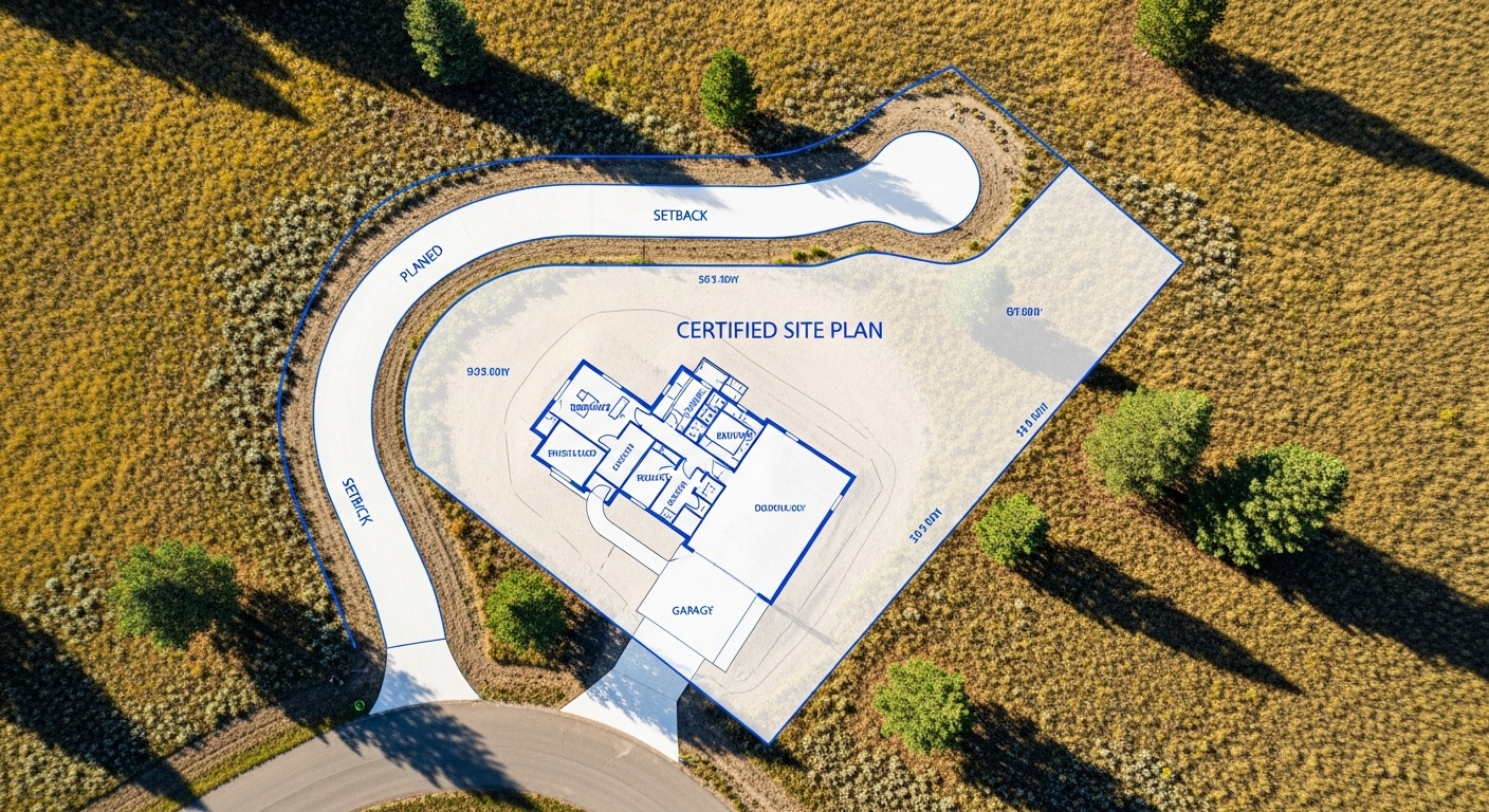
Surveying Regulations in Montana: What Every Landowner Should Know
If you own property or plan to develop land in Montana, understanding
surveying regulations isn’t just helpful — it’s essential.
State and county laws govern everything from how your property boundaries are defined to who is authorized to perform a survey.
At
Prairie Point Land Surveyor, we follow Montana’s professional standards to ensure every survey is legally valid, accurate, and recognized by local authorities.
Here’s what every Montana landowner should know about surveying laws, certifications, and compliance.
Why Surveying Regulations Exist
Surveying regulations protect property rights.
They ensure that every boundary, easement, and subdivision is defined with consistent accuracy — no matter where you are in the state.
Without regulation, land boundaries could be measured inconsistently, leading to overlapping ownership, disputes, or invalid titles.
Montana’s surveying standards guarantee that your property data is legally defensible and professionally verified.
Licensed Surveyors Only
In Montana, only a
licensed professional land surveyor (PLS) can legally perform, certify, or record a land survey.
This license is regulated by the Montana Board of Professional Engineers and Land Surveyors under state law (Title 37, Chapter 67, MCA).
To become licensed, surveyors must:
- Earn an accredited surveying or geomatics degree
- Pass national and state-specific examinations
- Complete verified professional experience
- Maintain continuing education for license renewal
When you hire Prairie Point, you’re working with a licensed surveyor who meets every one of these requirements — ensuring your survey is compliant, accurate, and recognized statewide.
The Montana Subdivision and Platting Act
For property divisions or lot boundary adjustments, the Montana Subdivision and Platting Act (Title 76, Chapter 3, MCA) governs how land can be legally subdivided and recorded.
This law ensures:
- Subdivisions meet local zoning and infrastructure requirements
- Survey plats are reviewed and approved by county authorities
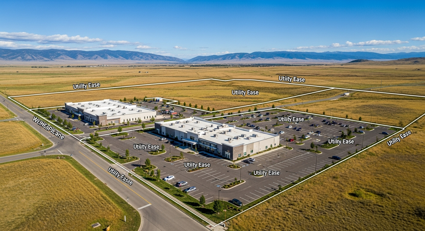
- Lot boundaries, easements, and access are properly documented
If you’re planning to split, combine, or sell part of your property, your survey must follow these regulations before it can be recorded at the county clerk and recorder’s office.
Monumentation Requirements
Montana law requires that surveyors
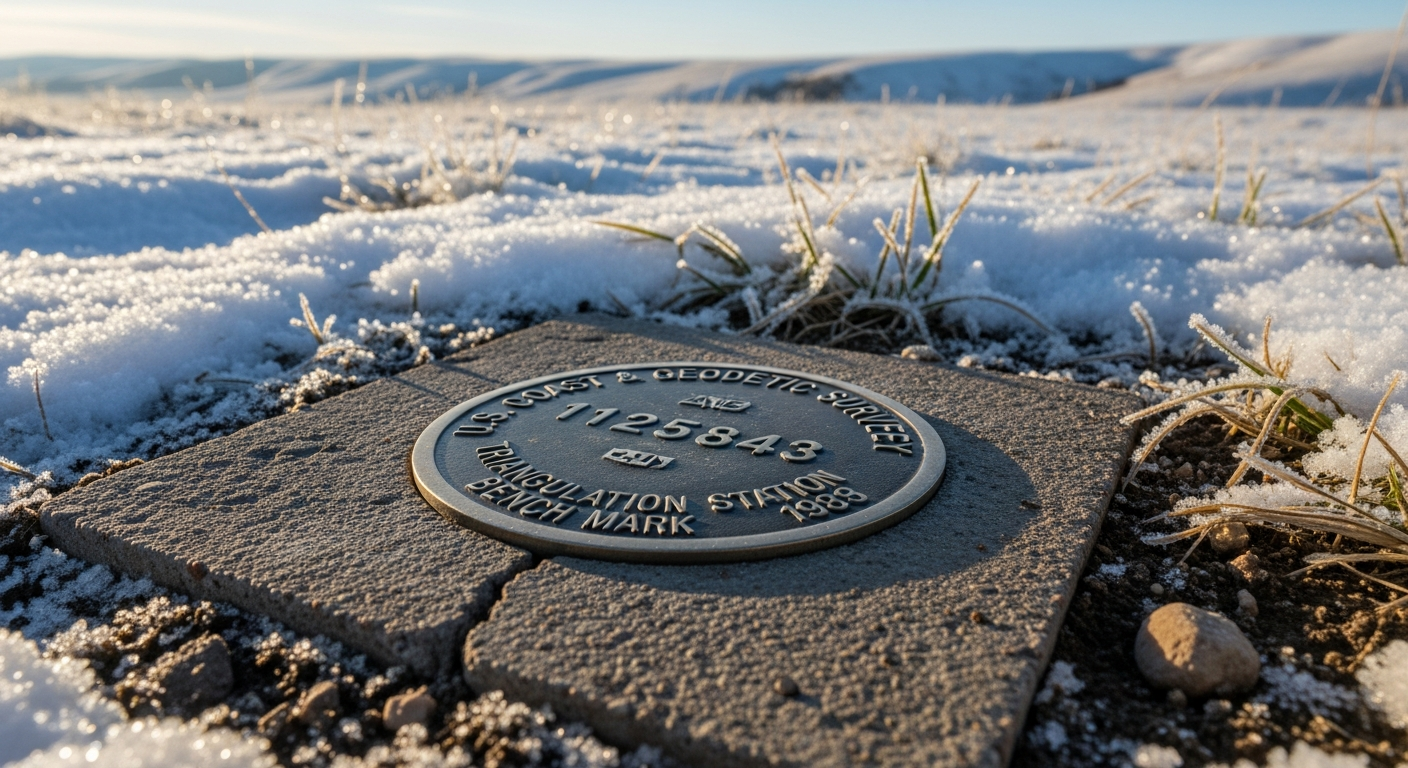
set permanent corner monuments — such as iron pins, caps, or stones — to physically mark the boundaries they certify.
Each monument must include a durable identifier (like the surveyor’s license number or cap stamp).
These monuments:
- Provide lasting reference points for future surveys
- Ensure your boundary can be reestablished accurately
- Are protected under Montana law — removing or altering them without authorization is illegal (per MCA 45-6-101).
When Prairie Point performs a survey, we verify, reset, or replace every required monument so your property boundaries remain clearly and permanently marked.
Recording and Legal Standing
Once a survey is completed, certain types — such as
subdivision plats, boundary line adjustments, or retracements — must be filed with the county.
The recorded plat becomes a public document and the official reference for your property’s limits.
In Montana, a recorded plat must:
- Include the surveyor’s seal and signature
- Reference deed descriptions and adjoining surveys
- Be reviewed for compliance with Administrative Rules of Montana (ARM 24.183)
This record ensures long-term protection for your ownership boundaries and helps prevent future title disputes.
Why Compliance Matters for Homeowners
Even if you’re not subdividing, compliance still affects you.
If a fence, shed, or addition crosses a boundary line, the county or a neighbor may request a
recorded survey to verify property limits.
An uncertified or informal measurement won’t hold up in court or for permitting.
Working with a licensed, compliant surveyor gives you:
- Legal documentation for property transfers
- Verified data for permits and construction
- Confidence that your property corners meet Montana’s legal standard
In short — a compliant survey is your proof of ownership boundaries.
Common Missteps to Avoid
- Hiring an unlicensed individual to “mark corners” — it’s not legally valid.
- Skipping survey updates after construction or parcel adjustments.
- Failing to record plats after land division, delaying title updates.
- Ignoring easement documentation, which can create access conflicts.
Prairie Point helps you avoid these issues by managing the entire process: research, fieldwork, certification, and county recording.
How Prairie Point Ensures Regulatory Accuracy
Our Billings-based survey team follows every
Montana Board and
county standard precisely.
Each certified drawing includes:
- Official seal and signature of a licensed surveyor
- Legal description consistent with deeds and records
- Monumentation details
- Compliance with ARM 24.183 and Title 76-3-401 MCA
We handle communication with local permitting and recording offices so you can focus on your project — knowing your survey meets every requirement.
Final Thoughts
Surveying regulations may seem technical, but they’re there to protect you.
When your survey is performed by a licensed, compliant Montana surveyor, you gain peace of mind — knowing your property lines, records, and rights are secure.
At Prairie Point Land Surveyor, accuracy and compliance aren’t optional. They’re the foundation of every project we complete.
Call to Action
Need a compliant, certified survey in Montana?
Contact Prairie Point Land Surveyor today for a quote or consultation.
We’ll ensure your boundary, subdivision, or title survey meets every Montana standard — accurately and on time.

