How GPS and Modern Equipment Improve Accuracy in Land Surveys
Accuracy is the foundation of every land survey. Whether you’re confirming a property boundary, planning construction, or completing a commercial transaction, even small measurement errors can create costly problems down the line.
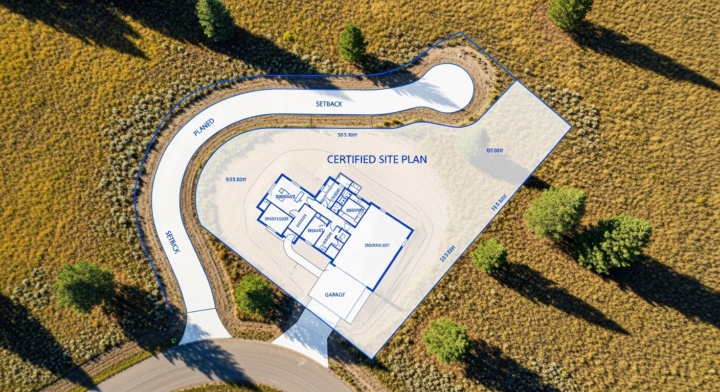
Today’s land surveying relies on advanced technology that delivers a level of precision far beyond traditional methods alone. At Prairie Point Land Surveyor, we use modern GPS and optical equipment to ensure every survey is accurate, repeatable, and compliant with Montana standards.
Here’s how modern surveying tools improve results—and why that matters for your project.
From Chains to Satellites: How Surveying Has Evolved
Traditional land surveying relied heavily on tape measurements, compasses, and line-of-sight techniques. While these methods laid the groundwork for today’s profession, they were limited by terrain, visibility, and cumulative measurement error.
Modern surveying integrates satellite positioning, electronic distance measurement, and digital data processing. These tools allow surveyors to collect precise measurements efficiently, even across large or challenging sites, while maintaining consistency with historical records.
The Role of GPS in Modern Surveying
Global Positioning System (GPS) technology allows surveyors to determine positions on the earth’s surface with high precision. By receiving signals from multiple satellites, survey-grade GPS equipment calculates location and elevation data accurate to fractions of a foot.
For large parcels, rural properties, and control networks, GPS provides reliable reference points that tie survey data to recognized coordinate systems. This ensures your survey aligns with surrounding properties, public records, and engineering plans.
GPS also improves efficiency. Surveyors can establish control points more quickly and verify measurements across wide areas without sacrificing accuracy.
Total Stations and Optical Precision
While GPS is powerful, it works best when paired with optical instruments such as total stations. These devices measure angles and distances using electronic signals and laser technology, allowing surveyors to collect precise data where satellite signals may be limited.
Total stations are especially valuable for:
- Boundary surveys in developed areas
- Construction stake-out and layout
- Detailed topographic surveys
- Measuring structures and improvements
By combining GPS control with optical measurement, surveyors achieve a level of precision that supports both legal boundary work and construction accuracy.
Digital Data Collection and Processing
Modern surveying equipment captures data electronically, reducing transcription errors and improving consistency. Measurements collected in the field are processed using professional-grade software that checks for alignment, closure, and accuracy.
This digital workflow allows surveyors to:
- Detect discrepancies early
- Compare new measurements to historical records
- Produce clear, readable certified drawings
- Maintain consistent accuracy across projects
The result is a survey deliverable you can trust for permitting, design, or legal documentation.
Why Accuracy Matters to Property Owners and Builders
Accurate surveys protect your investment. When boundary lines are correct, you avoid encroachments and disputes. When elevations are precise, drainage and foundation designs work as intended. When construction layout is accurate, structures are built in the right location the first time.
Modern equipment doesn’t replace professional judgment—but it supports it. Licensed surveyors use these tools to interpret records, evaluate evidence, and apply standards correctly.
Montana Terrain Demands Precision
Montana’s varied landscape—from open plains to sloped foothills—requires equipment that performs reliably in changing conditions. Long distances, elevation changes, and rural access make modern GPS and optical tools especially valuable.
At Prairie Point, we select equipment and methods based on site conditions, ensuring accuracy whether we’re surveying a city lot in Billings or a large rural parcel outside town.
Final Thoughts
Modern surveying technology improves accuracy, efficiency, and reliability—but it’s only effective when used by experienced professionals. By combining GPS, total stations, and careful data analysis, licensed surveyors deliver results you can depend on.
At Prairie Point Land Surveyor, we use modern tools to support what matters most: clear boundaries, accurate elevations, and survey data that stands up to scrutiny.
Need precise, dependable survey data for your project?
Contact Prairie Point Land Surveyor to work with a licensed Montana surveyor using modern equipment and proven methods