The Role of a Surveyor in Subdividing Land in Montana
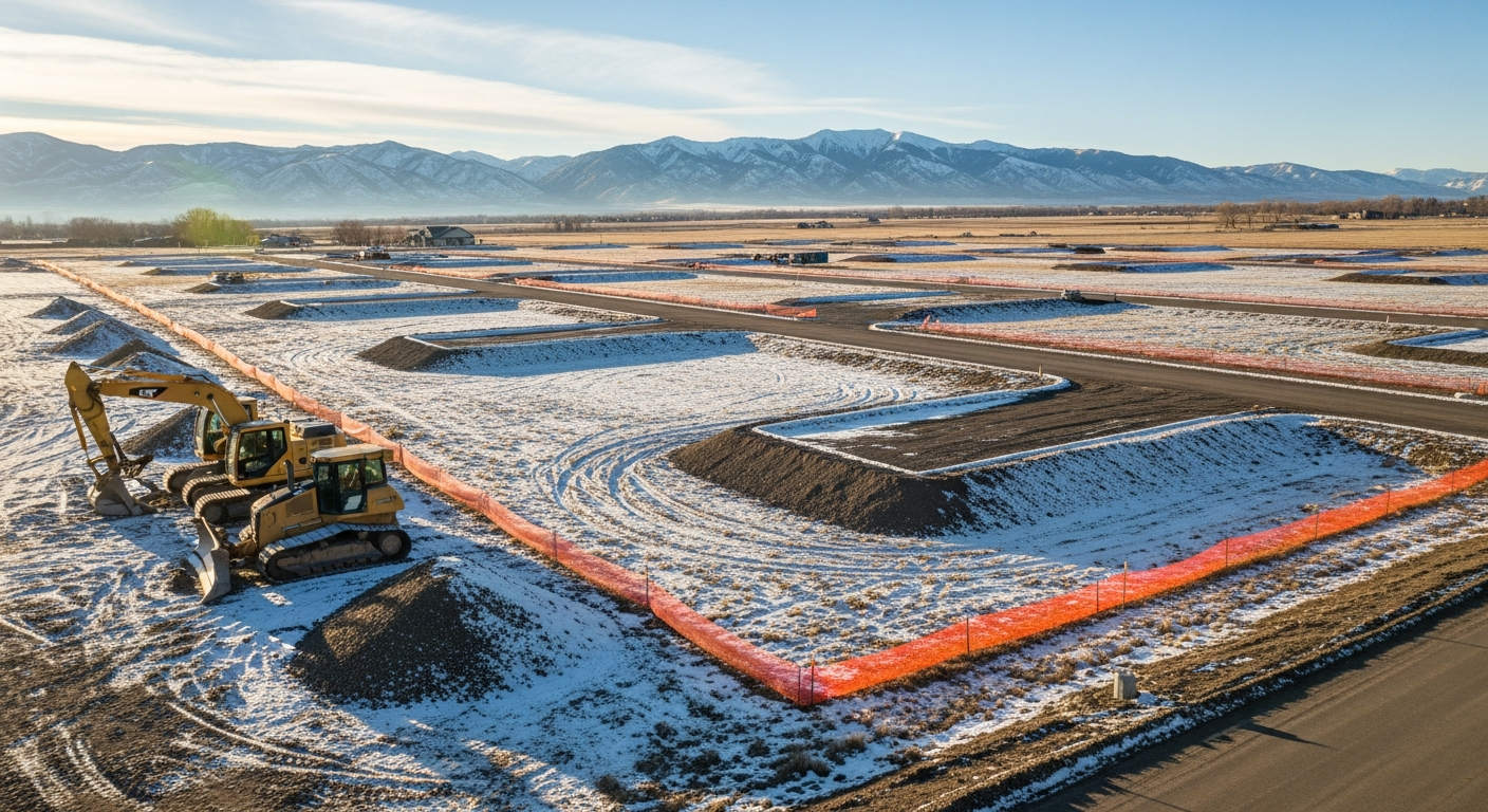
As Montana continues to grow, especially in areas like Billings and Yellowstone County, many landowners are exploring the opportunity to subdivide their land—whether to sell off a portion, develop a residential neighborhood, or pass land down to family.
But subdividing land in Montana isn’t as simple as drawing a new line on a map. It involves a precise, legal process—and the role of a licensed land surveyor is central to getting it done correctly, efficiently, and legally.
In this post, we’ll walk through why surveyors are essential when subdividing property, the typical process in Yellowstone County, and what landowners should consider before starting.
What Is a Land Subdivision?
A subdivision is the legal process of dividing one parcel of land into two or more lots. This is often done for:
- Residential development
- Selling part of a property
- Creating an easement or access route
- Planning for future construction or investment
The process must comply with Montana’s Subdivision and Platting Act, as well as local regulations from counties or municipalities.
Why You Need a Land Surveyor
A licensed land surveyor plays a critical role in every subdivision project. Their responsibilities typically include:
📐 1. Mapping and Measuring
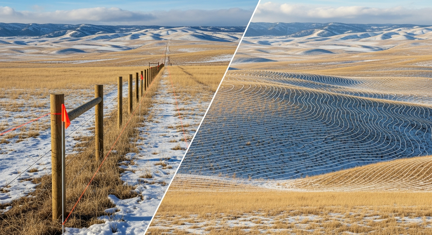
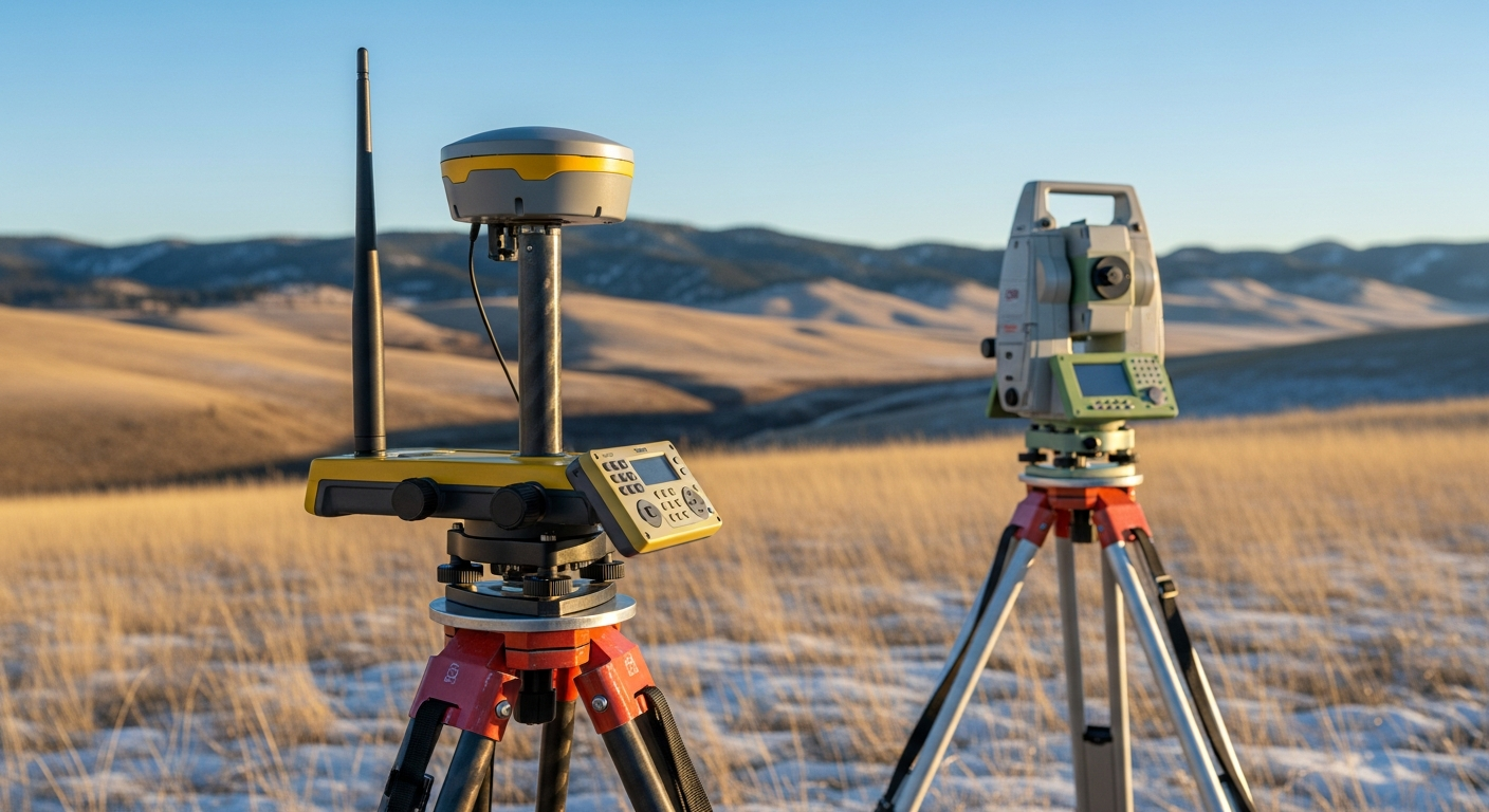
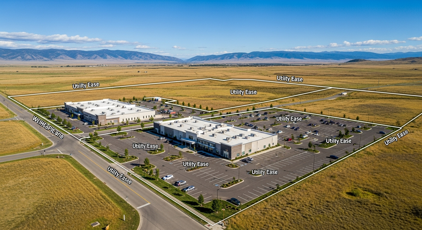
Surveyors measure and map the existing parcel using advanced equipment and GIS tools. They define accurate lot lines, property dimensions, and identify any easements or encroachments.
🧭 2. Creating a Preliminary Plat
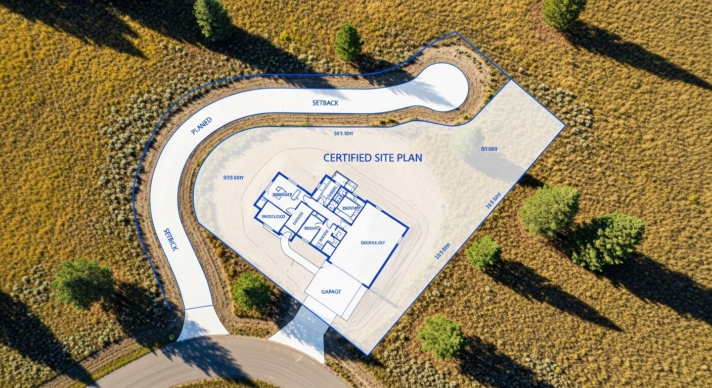
This is a detailed drawing showing the proposed lot divisions, street access, and utilities. The surveyor ensures this map meets all county zoning and planning codes, including minimum lot sizes, right-of-way widths, and setback requirements.
📝 3. Filing Legal Documents
Surveyors work closely with landowners, title companies, and attorneys to produce the legal descriptions and plats required for filing with the Yellowstone County Clerk and Recorder’s Office.
🧩 4. Navigating Regulations
Different subdivision types—such as minor vs. major—trigger different review processes. Your surveyor helps you understand which category your project falls under and prepares the documentation needed for planning board or city council approval.
🏗️ 5. Supporting Development Plans
In larger projects, surveyors collaborate with engineers, architects, and developers to plan access roads, drainage systems, and utilities—all based on the land’s topography and layout.
The Subdivision Process in Yellowstone County
Here’s a simplified overview of how the subdivision process typically works in the Billings area:
- Hire a licensed land surveyor to review your land, title, and zoning requirements.
- Prepare a preliminary plat, showing proposed lots and any infrastructure improvements.
- Submit the plat for county review, including environmental assessments, impact studies, or utility plans if required.
- Attend public hearings or planning meetings, if your subdivision needs board approval.
- Revise and finalize the plat based on feedback.
- Record the final plat with the Clerk and Recorder, officially splitting the land into new legal parcels.
Common Subdivision Challenges in Montana
Even with the right team, subdivisions can be complex. Surveyors help you avoid or resolve challenges like:
- 🔍 Improper legal descriptions from old deeds
- 🚫 Nonconforming lot sizes due to zoning codes
- 🌲 Environmental restrictions (wetlands, flood zones)
- 🚧 Limited access to roads or utilities
- 🧭 Disputes with neighboring properties or unclear boundaries
When Should You Contact a Surveyor?
As early as possible.
Many landowners try to sketch their own plans or guess at boundaries, only to discover they’ve made assumptions that derail the process. Bringing in a licensed surveyor at the very beginning ensures your plan is feasible—and that your time and money are well spent.
Whether you’re subdividing an inherited ranch property east of Billings or a city lot near downtown, a surveyor is your first step to success.
Final Thoughts
Land subdivision is a powerful tool for maximizing property value, planning for the future, or developing Montana’s growing communities. But it’s also a regulated process that requires expert guidance. A licensed land surveyor does more than draw lines—they provide clarity, legal security, and local knowledge that moves your project forward.
Call us at 406-551-1916 for a free quote today, or visit prairiepointlandsurveyor.com to learn more about our services. Let’s ensure your next project in Billings succeeds!

