Understanding Boundary Surveys in Billings, MT
Understanding Boundary Surveys in Billings, MT
If you're buying property, building a fence, or planning a home addition in Billings, Montana, one of the most critical first steps is getting a boundary survey. Yet, many homeowners and landowners overlook this essential step—only to encounter costly disputes or legal challenges later.
In this post, we’ll explain what a boundary survey is, why it’s vital in Yellowstone County, and how it helps you protect your investment.
What Is a Boundary Survey?
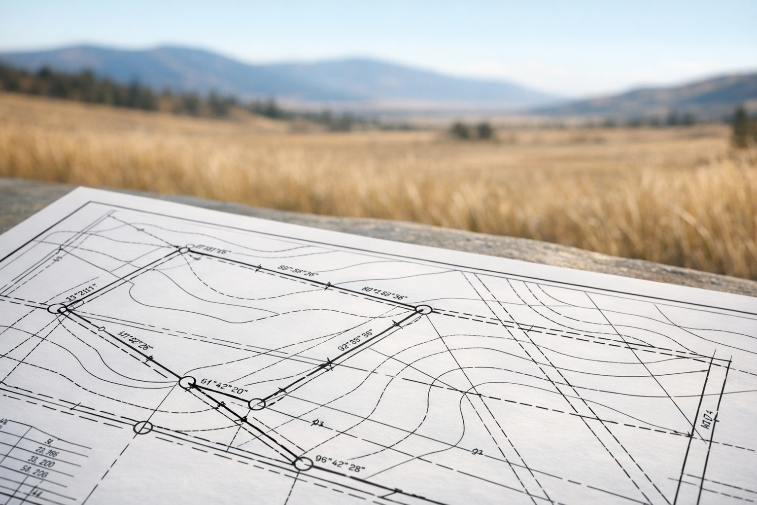
A boundary survey is a detailed process that defines the legal boundaries of a parcel of land. Licensed land surveyors use historical records, deeds, and specialized equipment to determine exactly where your property begins and ends.
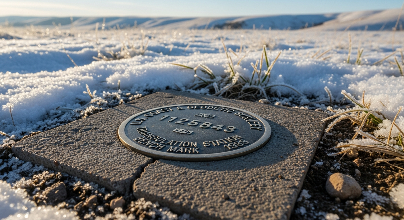
The final result is often a map (called a “plat”) showing your lot's dimensions, corners, and any existing structures or improvements. Survey markers—such as metal stakes or pins—are typically placed at key points along the boundary for easy reference.
Why Boundary Surveys Matter in Billings, MT
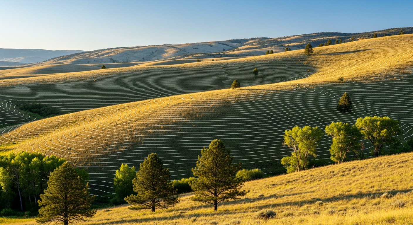
Here in Billings, property lines aren’t always as clear as they appear. Between decades-old fences, shifting subdivisions, and Montana’s mix of urban and rural land, it’s easy for neighbors to assume the wrong lines.
Here are just a few reasons boundary surveys are important:
- ✅ Prevent Property Disputes
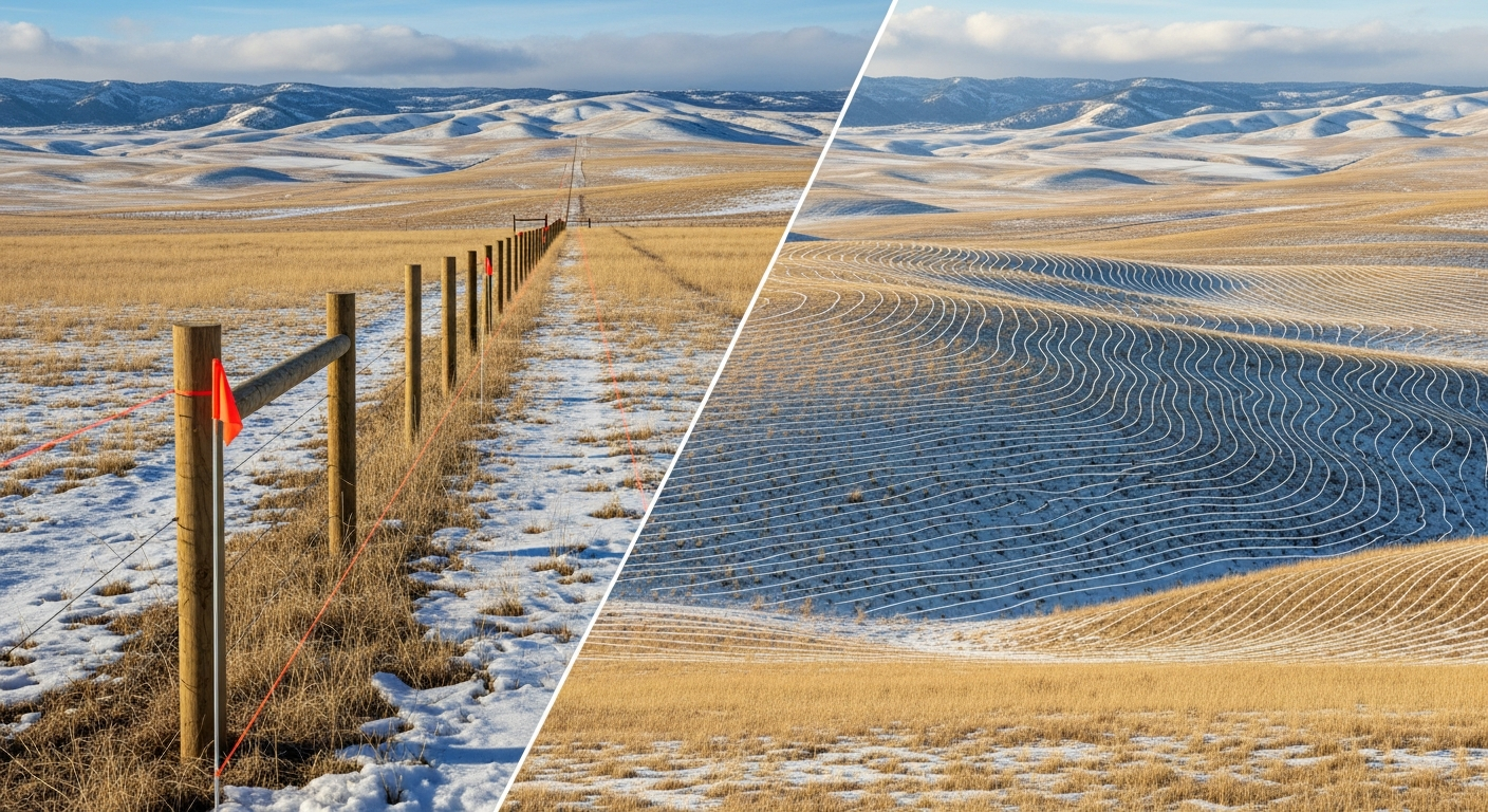
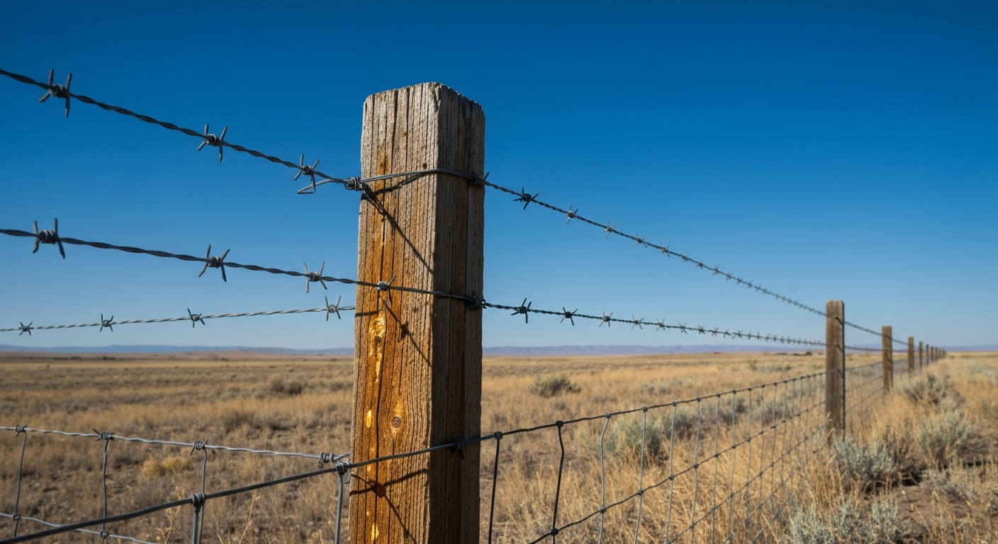
Encroachments—like a shed, driveway, or fence crossing a boundary—can lead to legal trouble. A survey ensures that what’s yours is clearly defined, and what’s not is easily addressed before conflicts arise.
- ✅ Comply with Local Regulations
Planning a build? The City of Billings enforces setback requirements and zoning laws that depend on your lot’s exact dimensions. A survey helps you stay compliant and avoid permitting delays.
- ✅ Aid in Buying or Selling Property
Real estate transactions often require accurate land measurements. Whether you're the buyer wanting peace of mind or the seller looking to avoid surprises at closing, a boundary survey is your best insurance.
- ✅ Support Land Improvements
Installing a fence, building an addition, or dividing your lot? You’ll need a survey to make sure improvements don’t accidentally cross into your neighbor’s yard—or violate local codes.
How the Boundary Survey Process Works
- Research: The surveyor pulls legal records, deeds, and subdivision plats from the Yellowstone County Clerk and Recorder’s office or GIS mapping systems.
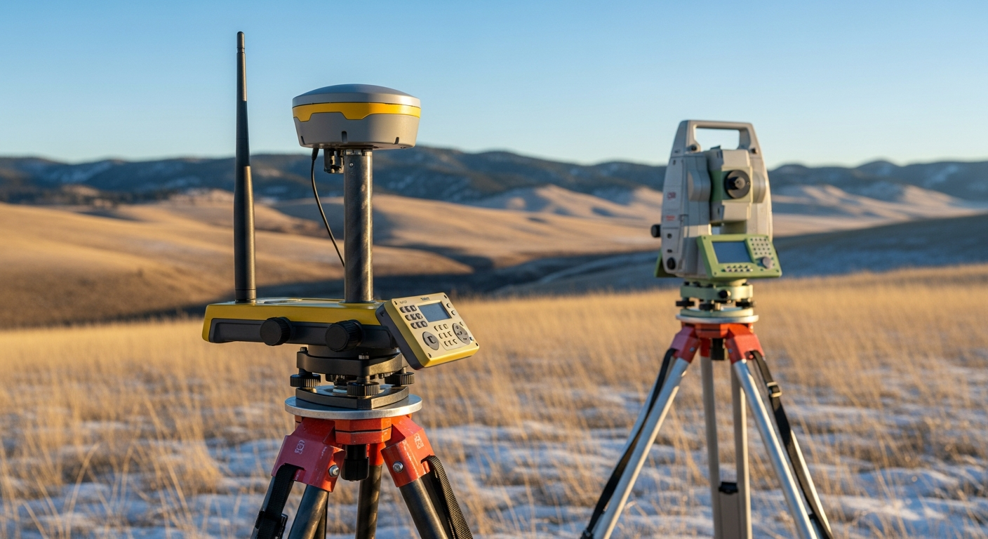
- Fieldwork: Using modern equipment like GPS and robotic total stations, the surveyor visits the property to measure existing markers, features, and improvements.
- Mapping: A professional plat or report is created, showing all boundary lines, dimensions, and permanent markers placed on the ground.
- Delivery: The completed survey is provided to the property owner and can be filed with the county or used for building permits, legal filings, or disputes.
When to Get a Boundary Survey in Billings
We recommend a boundary survey any time you:
- Buy or sell real estate
- Build a fence or wall
- Construct a garage, shed, or home addition
- Subdivide or merge lots
- Suspect a boundary dispute with a neighbor
- Apply for zoning changes or land use permits
Common Boundary Issues Found in Billings
Some typical surprises that surveys uncover in our region include:
- Fences or buildings over the line (sometimes by several feet)
- Discrepancies between deeded and actual measurements
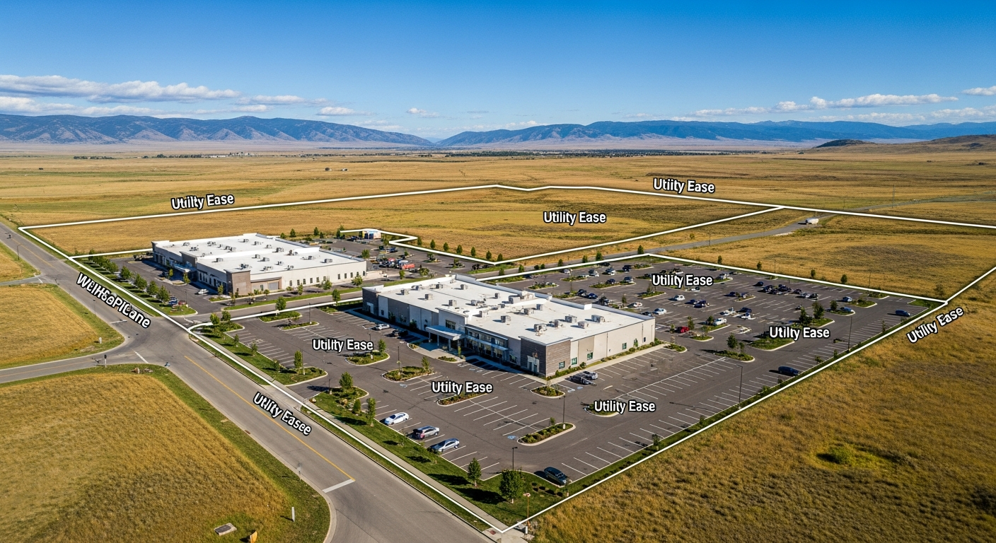
- Overlapping easements or right-of-ways
- Gaps between adjacent parcels (commonly known as "gores")
- Unrecorded lot splits or missing corner markers
Final Thoughts
Whether you own a modest home in Heights or a large acreage south of town, a boundary survey brings confidence, clarity, and legal security. Don’t leave your property lines to chance—get the measurements that matter.
Call us at 406-551-1916 for a free quote today to learn more about our services. Let’s ensure your next project in Billings succeeds!

