October 24, 2025
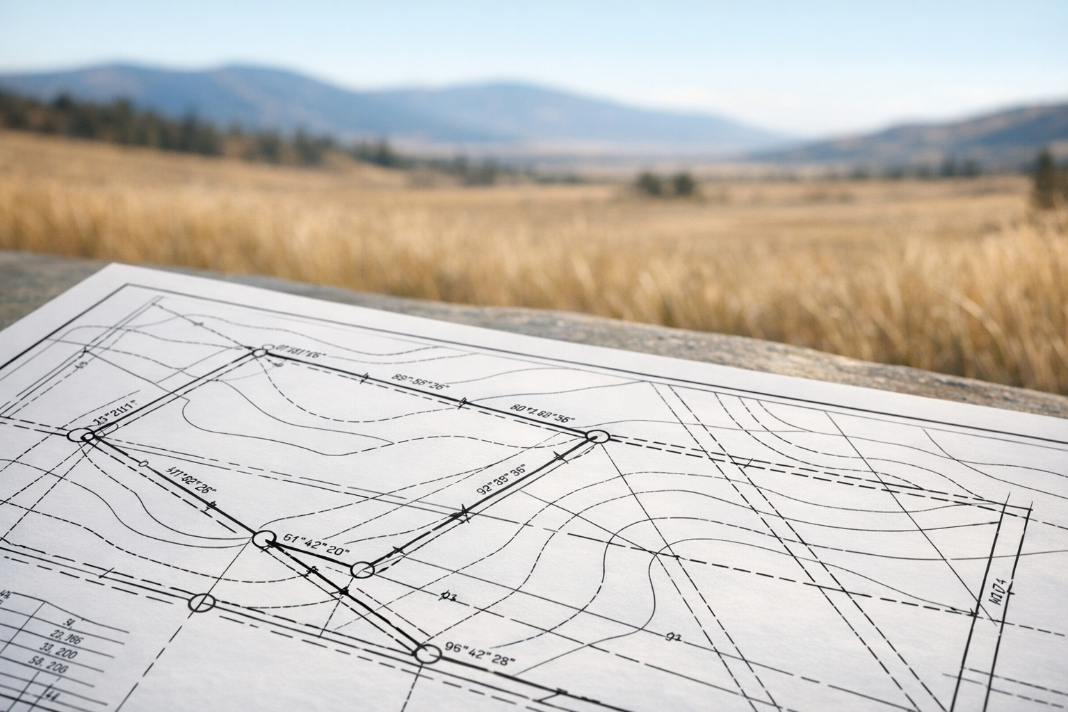
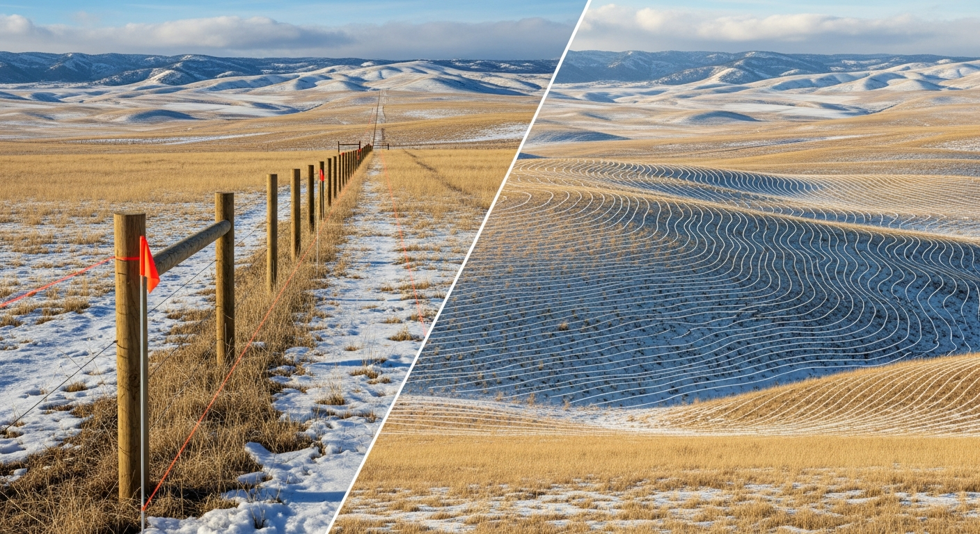
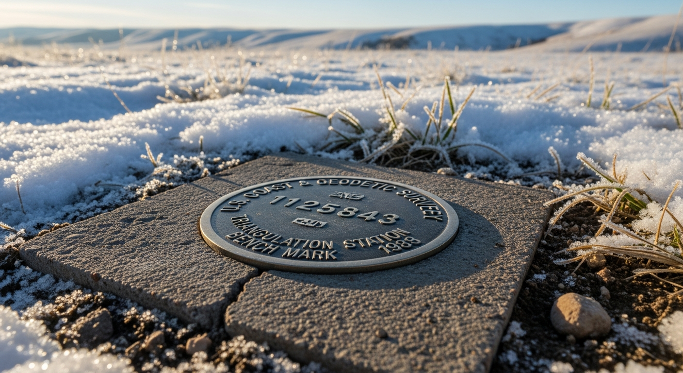
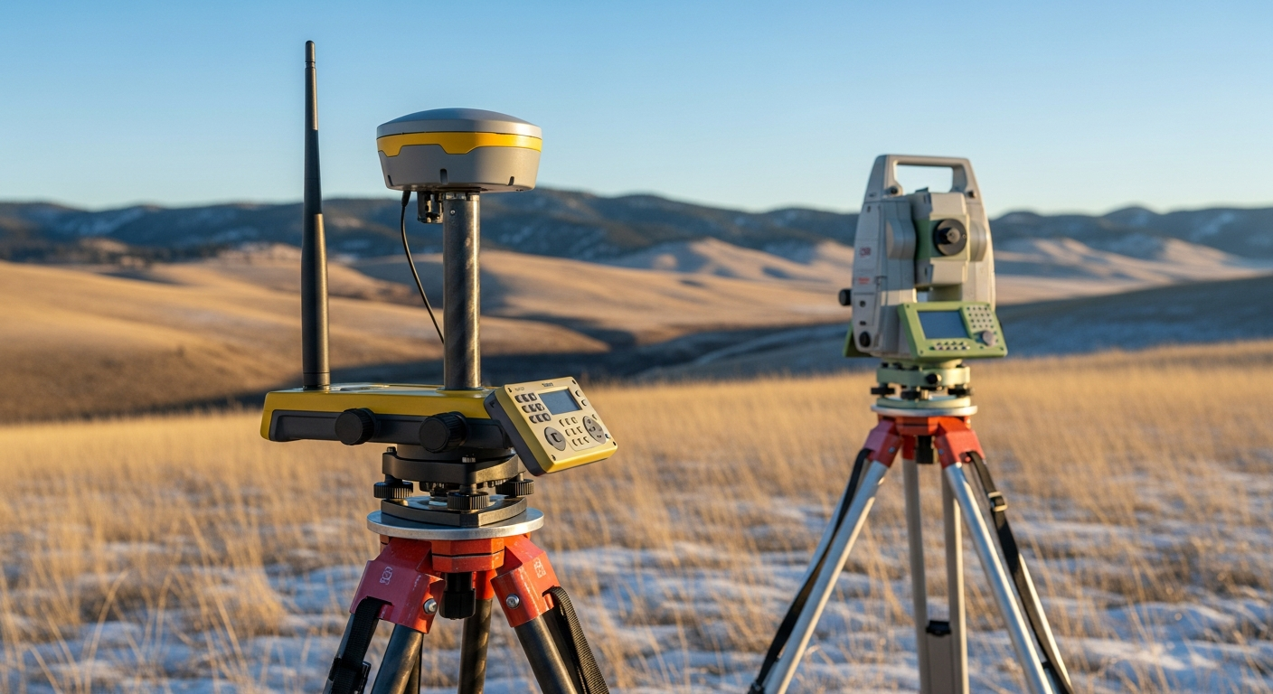
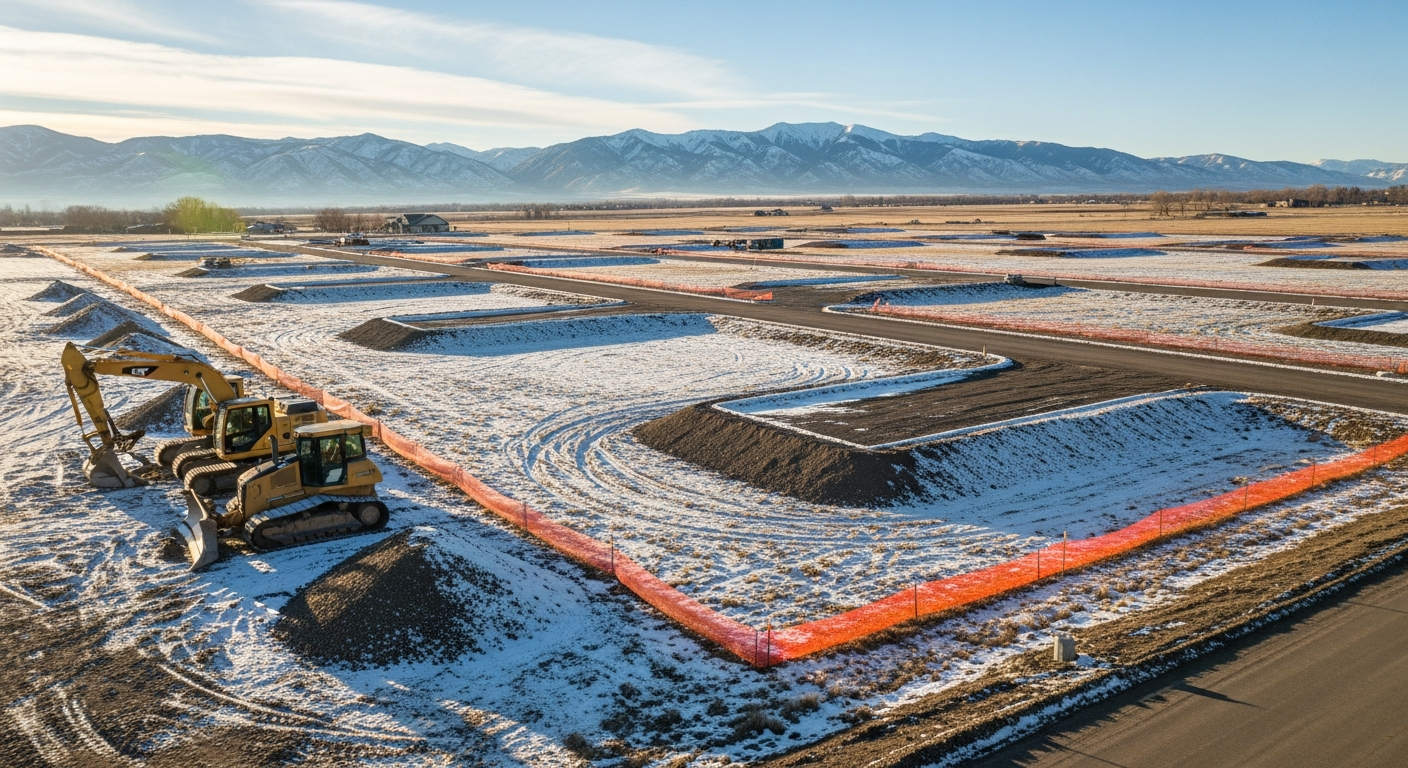
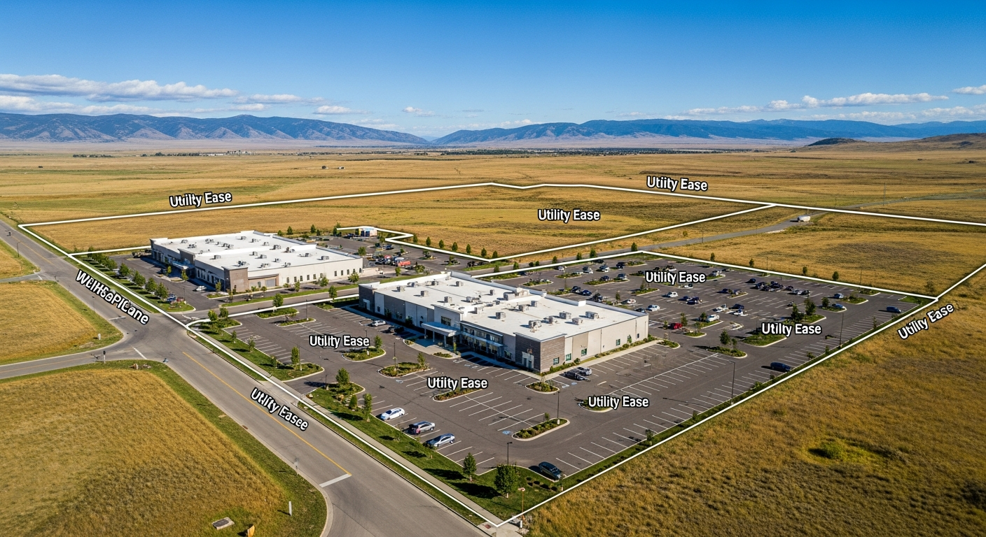
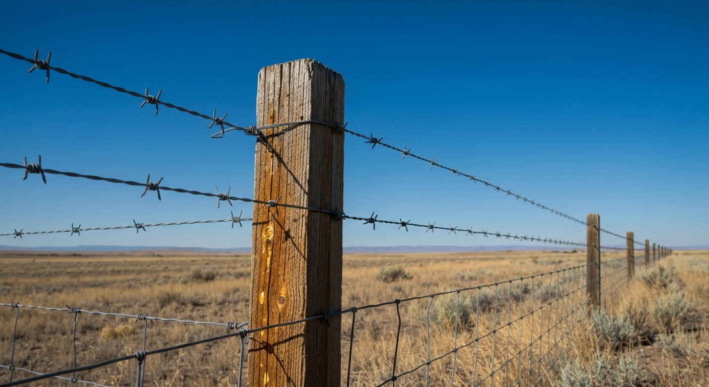
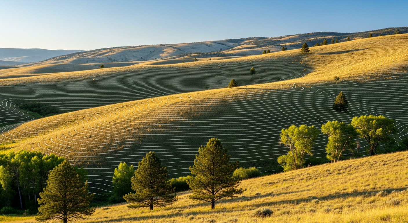
Before winter weather settles across Montana, it’s worth asking: Are your property boundaries clearly defined? At Prairie Point Land Surveyor, we see a consistent pattern each year. Homeowners and developers who schedule surveys in the fall avoid costly construction delays, permit issues, and frozen-ground headaches once winter arrives. Here’s why autumn is the ideal season to complete a boundary survey —and how it helps you move confidently into the new year. Why Boundary Surveys Matter A boundary survey identifies and verifies the exact limits of your property. It’s the foundation for nearly every land-related decision, from installing a fence to subdividing acreage. The surveyor’s job is to locate property corners, research deeds and plats, and produce a certified survey drawing you can rely on for permits, design, or construction. Without an accurate survey, you risk building in the wrong location or misjudging your property’s size—and that can lead to legal disputes, wasted material, and project delays. Fall Offers the Best Field Conditions In Montana, field conditions matter. Surveying depends on visibility, accessibility, and stable ground—all of which are optimal during the fall months. 1. Better Ground Visibility By late September and October, vegetation starts to thin out. This improves line-of-sight for instruments and makes corner markers, fences, and monuments easier to locate. Tall grass, dense brush, and summer foliage often obstruct boundary points—so survey accuracy improves when sightlines are clear. 2. Accessible Terrain Before winter snowpack or spring runoff, surveyors can reach corner monuments without the added challenge of mud or ice. Dry, stable soil allows for faster and safer surveying work. 3. Ideal Lighting and Weather Cooler temperatures mean crews can spend longer periods in the field, and with less heat distortion affecting instrument readings, the precision of total station and GPS measurements is often at its peak. Avoid Winter Delays and Frozen Ground Once Montana’s frost sets in, fieldwork becomes more complex. Iron pins and monuments can freeze in place, snow can obscure markers, and the ground may require thawing before measurement or excavation. Surveying ahead of the cold season ensures your survey record and certified map are complete and ready when contractors, lenders, or county offices need them. In other words: while others wait for spring thaw, you’re ready to move forward. Perfect Timing for Upcoming Projects Whether you’re planning a fence installation, driveway, addition, or new build in the coming year, a fall survey keeps your project timeline on track. You’ll benefit from: Accurate site data for design and permitting. Your engineer or architect can begin work immediately. Verified property corners for contractors. Builders can plan without uncertainty. Regulatory compliance early on. If you need an Elevation Certificate or ALTA/NSPS Land Title Survey , completing it before winter avoids spring rush delays. By scheduling now, you’ll enter construction season with confidence—and likely save on costs tied to rushed or postponed surveys. Legal & Real Estate Advantages Boundary clarity doesn’t just support construction—it protects ownership. A current survey helps confirm legal property lines , identify encroachments , and resolve title questions before a sale or refinance. Lenders and title companies frequently require an updated boundary or ALTA/NSPS Land Title Survey before closing. Having this documentation ready in advance helps your transaction move smoothly, even during the busy spring market. How Prairie Point Handles Fall Surveys At Prairie Point Land Surveyor , we combine detailed field measurements with local regulatory expertise. Every survey is conducted by a licensed Montana surveyor , and each certified drawing meets state and county requirements. Our process includes: Record Research – Reviewing deeds, plats, and easements. Field Work – Locating or setting property corners using GPS and total station equipment. Data Analysis – Reconciling field findings with record documents. Certified Survey Drawing – Delivering a clear, precise map ready for permitting, sale, or construction. You receive a final deliverable you can trust—accurate, compliant, and ready for your next step. Montana-Specific Considerations Local conditions make Montana surveying unique. From expansive rural tracts to complex subdivision corners, each site demands local experience and familiarity with county records. Our Billings-based team understands these conditions—whether your property lies in Yellowstone County or along the surrounding rural edges—and ensures compliance with state and local surveying standards . When to Schedule Your Fall Survey We recommend booking a boundary or elevation survey between mid-September and mid-November , before the first deep freeze. If you’re planning construction, land purchase, or design work in spring 2026, now is the right time to: Confirm property boundaries Obtain a certified survey drawing Request elevation data or ALTA documentation Scheduling early ensures availability and avoids the spring backlog. Final Thoughts Fall offers the perfect window to clarify your property boundaries before Montana’s winter sets in. Accurate survey data now saves time, prevents disputes, and prepares you for any project or transaction ahead. At Prairie Point Land Surveyor, we provide precise, compliant, and dependable results—so you can move forward with confidence, whatever your next project may be. Need a boundary survey before winter? Contact Prairie Point Land Surveyor today for a quote and timeline. You’ll receive a certified survey drawing that meets all regulatory standards and keeps your plans on solid ground.